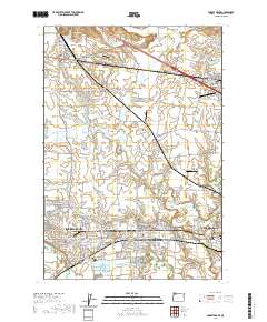
2020 Map of Forest Grove
USGS Topo · Published 2020About this map
The Tualatin Valley serves as the backdrop for a dense corridor of settlements including Forest Grove, Cornelius, and Hillsboro. This modern survey reveals the ongoing relationship between agricultural heritage and suburban expansion, anchored by the historic campus of Pacific University. The landscape is etched with complex water management systems, featuring reservoirs like Van Loo Reservoir and Rufener Reservoir, alongside the meandering paths of Dairy Cr and Council Cr.
Find a feature on this map
137 named features on this map. Tap any name to fly to it.
Don’t see what you’re looking for? This feature index may not catch every label — zoom into the map to look around manually.
Map Details
Editions of this 2020 Forest Grove Map
This is the sole edition of this map. No revisions or reprints were ever made.
Other maps of this area

1915 · Hillsboro
USGS Topo · 1:62,500

1916 · Tualatin
USGS Topo · 1:62,500

1918 · Hillsboro
USGS Topo · 1:62,500

1939 · Tualatin
USGS Topo · 1:62,500

1940 · Tualatin
USGS Topo · 1:62,500

1940 · Hillsboro
USGS Topo · 1:62,500

1941 · Gales Creek
USGS Topo · 1:62,500

1941 · Yamhill
USGS Topo · 1:62,500

1942 · Yamhill
USGS Topo · 1:62,500

1948 · Vancouver
USGS Topo · 1:250,000