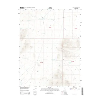
2014 Map of Forest Home
USGS Topo · Published 2014About this map
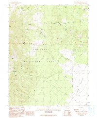
Forest Home sits at the head of a drainage system where Forest Home Cr and Big Spring Wash descend into the northern reaches of Garden Valley. This 2014 survey reveals a landscape defined by water management in a high-desert environment, evidenced by the series of reservoirs including Forest Home Reservoir Number 1, Forest Home Reservoir Number 3, and Forest Home Reservoir Number 4. The terrain is marked by intermittent watercourses like Teaspoon Wash, Sherwood Wash, and Scofield Wash that carve through the topography toward the valley floor. To the west, the presence of Mountain Spring and Little Spring indicates natural water sources that likely influenced the initial settlement at this location. A break in the high ground at Moon River Gap provides a notable landmark within the complex network of ridges and washes that characterize this portion of Nye County.
Find a feature on this map
18 named features on this map. Tap any name to fly to it.
Don’t see what you’re looking for? This feature index may not catch every label — zoom into the map to look around manually.
Map Details
Editions of this 2014 Forest Home Map
This is the sole edition of this map. No revisions or reprints were ever made.
Other maps of this area

1956 · Lund
USGS Topo · 1:250,000

1960 · Lund
USGS Topo · 1:250,000

1964 · Forest Home
USGS Topo · 1:62,500

1969 · Hot Creek Butte
USGS Topo · 1:24,000

1969 · Sunnyside NW
USGS Topo · 1:24,000
1971 · Timber Mtn Pass NW
USGS Topo · 1:24,000
1985 · Water Gap NW
USGS Topo · 1:24,000
1985 · Water Gap NE
USGS Topo · 1:24,000

1988 · Quinn Canyon Range
USGS Topo · 1:100,000
1990 · Horse Spring Hills
USGS Topo · 1:24,000