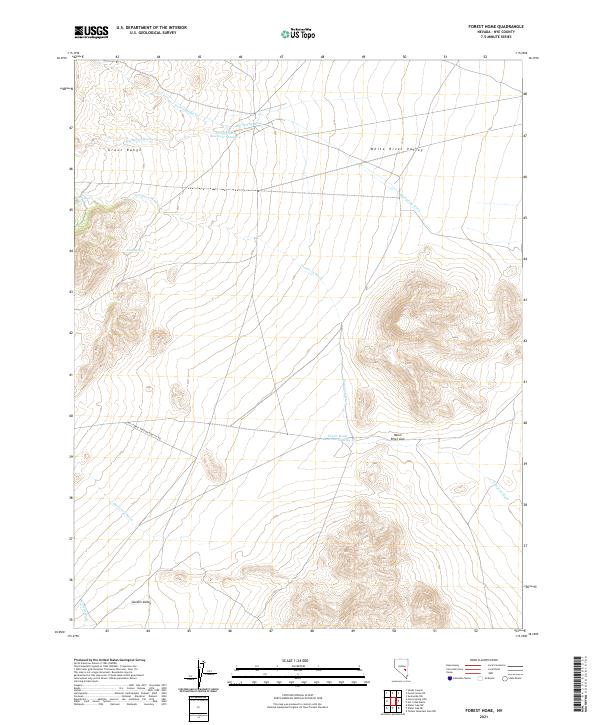
2021 Map of Forest Home
USGS Topo · Published 2021About this map
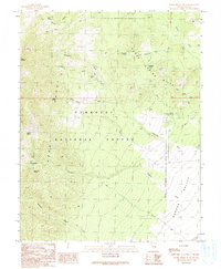
The Grant Range dominates the western topography of this Nye County quadrant, giving way to the broad expanse of the White River Valley to the east. This 2021 survey reveals a landscape defined by its hydraulic infrastructure and seasonal drainages, anchored by the presence of Forest Home Reservoir Number 4 and Forest Home Reservoir Number 1. These water management features, along with Forest Home Cr, illustrate the critical importance of water resources in this arid Nevada environment.
Find a feature on this map
18 named features on this map. Tap any name to fly to it.
Don’t see what you’re looking for? This feature index may not catch every label — zoom into the map to look around manually.
Map Details
Editions of this 2021 Forest Home Map
This is the sole edition of this map. No revisions or reprints were ever made.
Other maps of this area

1956 · Lund
USGS Topo · 1:250,000

1960 · Lund
USGS Topo · 1:250,000

1964 · Forest Home
USGS Topo · 1:62,500

1969 · Hot Creek Butte
USGS Topo · 1:24,000

1969 · Sunnyside NW
USGS Topo · 1:24,000
1971 · Timber Mtn Pass NW
USGS Topo · 1:24,000
1985 · Water Gap NW
USGS Topo · 1:24,000
1985 · Water Gap NE
USGS Topo · 1:24,000

1988 · Quinn Canyon Range
USGS Topo · 1:100,000
1990 · Horse Spring Hills
USGS Topo · 1:24,000