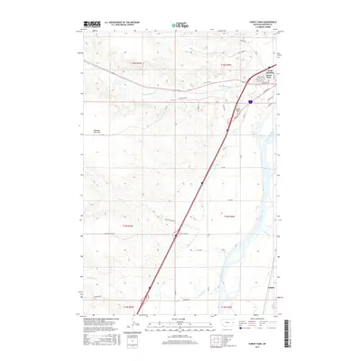
2017 Map of Forest Park
USGS Topo · Published 2017About this map
The Yellowstone River winds along the eastern edge of this Dawson County landscape, framing a region defined by its transition from prairie flats to organized settlements. In the northeast, West Glendive and Forest Park represent the primary residential hubs, while the smaller locality of Colgate sits further south along the riverbank. The terrain is marked by expansive high ground such as Pleasant View Flat, which is dissected by several seasonal drainages including Upper Sevenmile Cr, Sand Cr, and Whoopup Cr. Local history and genealogy interest is concentrated near the river corridor, where the Dawson Memorial Cem is located just off the primary transportation routes. The map documents a network of named rural roads like Carlson Ranch Rd and Old Hwy 200, illustrating how ranching and river access shaped the modern development of these Montana communities.
Find a feature on this map
40 named features on this map. Tap any name to fly to it.
Don’t see what you’re looking for? This feature index may not catch every label — zoom into the map to look around manually.
Map Details
Editions of this 2017 Forest Park Map
This is the sole edition of this map. No revisions or reprints were ever made.
Other maps of this area

1909 · Glendive
USGS Topo · 1:250,000

1953 · Miles City
USGS Topo · 1:250,000

1954 · Glendive
USGS Topo · 1:250,000

1957 · Miles City
USGS Topo · 1:250,000

1957 · Glendive
USGS Topo · 1:250,000

1958 · Miles City
USGS Topo · 1:250,000

1958 · Glendive
USGS Topo · 1:250,000

1967 · Stipek
USGS Topo · 1:24,000

1967 · Marsh
USGS Topo · 1:24,000

1967 · Hoyt
USGS Topo · 1:24,000