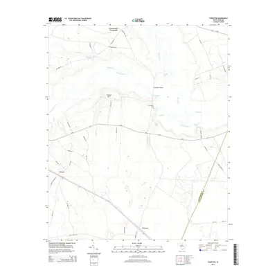
2014 Map of Foreston
USGS Topo · Published 2014About this map
Foreston and Wilson anchor this southern Clarendon County landscape, where the Pocotaligo River and Black River converge amidst a dense network of swampy tributaries and isolated lakes. The map reveals a rural economy shaped by these waterways, with features like Brewington Crossing and the Brewington Cem indicating long-established centers of local life. The drainage patterns are intricate, defined by named branches such as Broad Branch, Peddlers Br, and Joes Br that feed into larger basins.
Find a feature on this map
50 named features on this map. Tap any name to fly to it.
Don’t see what you’re looking for? This feature index may not catch every label — zoom into the map to look around manually.
Map Details
Editions of this 2014 Foreston Map
This is the sole edition of this map. No revisions or reprints were ever made.
Other maps of this area

1920 · Mayesville
USGS Topo · 1:48,000

1920 · Manning
USGS Topo · 1:48,000

1921 · Manning
USGS Topo · 1:62,500

1921 · Mayesville
USGS Topo · 1:62,500

1943 · Mayesville
USGS Topo · 1:62,500

1944 · Manning
USGS Topo · 1:62,500

1946 · Kingstree
USGS Topo · 1:62,500

1946 · Lake City
USGS Topo · 1:62,500

1949 · Georgetown
USGS Topo · 1:250,000

1954 · Augusta
USGS Topo · 1:250,000