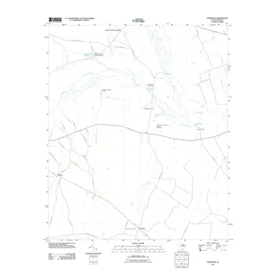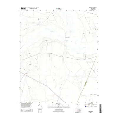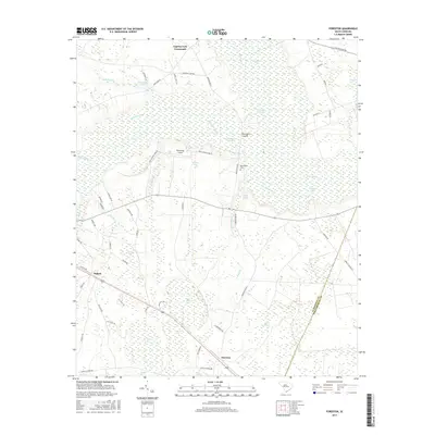
2024 Map of Foreston
USGS Topo · Published 2024About this map
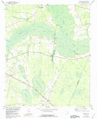
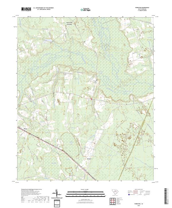
Pocotaligo River and the Black River dominate this low-country landscape in Clarendon County, where the terrain is defined by numerous Carolina bays and expansive wetlands. The settlement of Foreston sits as a central point of reference, flanked by significant swamp and bay features such as Cypress Bay, Little Junkyard Bay, and Pigeon Bay. The presence of the Brewington Church and an adjacent Graveyard near the Pocotaligo River suggests a deep-rooted community history tied to the land's hydrology.
Find a feature on this map
64 named features on this map. Tap any name to fly to it.
Don’t see what you’re looking for? This feature index may not catch every label — zoom into the map to look around manually.
Map Details
Editions of this 2024 Foreston Map
This is the sole edition of this map. No revisions or reprints were ever made.
Historical Maps of Foreston Through Time
6 maps found