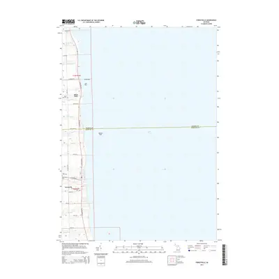
2014 Map of Forestville
USGS Topo · Published 2014About this map
Forestville and White Rock occupy the edge of Lake Huron in this 2014 study of Michigan's Thumb region. The landscape is defined by the sharp boundary between the lake and the agricultural hinterland, punctuated by numerous small waterways such as White River, Mill Cr, and Slatestone Cr that drain into the basin. The survey clearly delineates the border between Huron and Sanilac counties along Huron Line Rd, with a series of family-named roads like Priemer Rd and Leppek Rd providing access to the interior farmsteads. Local history is anchored by several burial grounds including Saint Johns Cem, Forestville Cem, and White Rock Cem. Just offshore, the map identifies maritime hazards and terrain such as Wankes Reef and the shallow shelf known as The Flats, illustrating the coastal navigation challenges inherent to this stretch of the shoreline.
Find a feature on this map
36 named features on this map. Tap any name to fly to it.
Don’t see what you’re looking for? This feature index may not catch every label — zoom into the map to look around manually.
Map Details
Editions of this 2014 Forestville Map
This is the sole edition of this map. No revisions or reprints were ever made.
Other maps of this area

1954 · Flint
USGS Topo · 1:250,000

1958 · Flint
USGS Topo · 1:250,000

1963 · Forestville
USGS Topo · 1:24,000

1963 · Ruth
USGS Topo · 1:24,000

1963 · Deckerville
USGS Topo · 1:24,000

1963 · Richmondville
USGS Topo · 1:24,000

1970 · Harbor Beach
USGS Topo · 1:24,000

1984 · Harbor Beach
USGS Topo · 1:100,000
2011 · Deckerville
USGS Topo · 1:24,000
2011 · Forestville
USGS Topo · 1:24,000