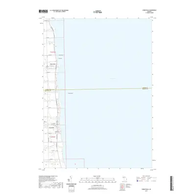
2019 Map of Forestville
USGS Topo · Published 2019About this map
The Lake Huron shoreline along the boundary of Huron and Sanilac Counties defines this landscape, where small lakeside settlements and drainage creeks meet the vast water. The village of Forestville sits at the intersection of Cedar Ave and S Lakeshore Rd, supported by a local history evident in the Forestville Cem and Saint Johns Cem. Northward, the settlement of White Rock lies near the mouth of White Rock Cr, while The Flats provides a rare level opening in the coastal terrain.
Find a feature on this map
42 named features on this map. Tap any name to fly to it.
Don’t see what you’re looking for? This feature index may not catch every label — zoom into the map to look around manually.
Map Details
Editions of this 2019 Forestville Map
This is the sole edition of this map. No revisions or reprints were ever made.
Other maps of this area

1954 · Flint
USGS Topo · 1:250,000

1958 · Flint
USGS Topo · 1:250,000

1963 · Forestville
USGS Topo · 1:24,000

1963 · Ruth
USGS Topo · 1:24,000

1963 · Deckerville
USGS Topo · 1:24,000

1963 · Richmondville
USGS Topo · 1:24,000

1970 · Harbor Beach
USGS Topo · 1:24,000

1984 · Harbor Beach
USGS Topo · 1:100,000
2011 · Deckerville
USGS Topo · 1:24,000
2011 · Forestville
USGS Topo · 1:24,000