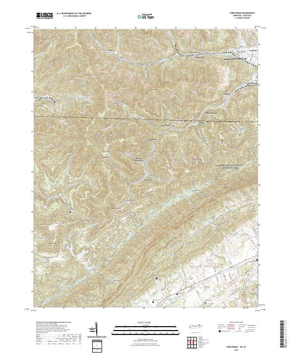
2022 Map of Fork Ridge
USGS Topo · Published 2022About this map
The Log Mountains dominate this 2022 survey, straddling the border between Bell County, Kentucky, and Claiborne County, Tennessee. This area is defined by its deep hollows and high gaps, such as Little Coal Gap and Big Coal Gap, which shaped the early mining and timber access in the region. The map preserves the names of small communities like Fonde, Manring, and Fork Ridge, along with family-named landmarks such as Hatfield Cem and Yoakum Cem that provide vital clues for genealogical research.
Find a feature on this map
125 named features on this map. Tap any name to fly to it.
Don’t see what you’re looking for? This feature index may not catch every label — zoom into the map to look around manually.
Map Details
Editions of this 2022 Fork Ridge Map
This is the sole edition of this map. No revisions or reprints were ever made.
Other maps of this area

1886 · Cumberland Gap
USGS Topo · 1:125,000

1888 · Cumberland Gap
USGS Topo · 1:125,000

1891 · Cumberland Gap
USGS Topo · 1:125,000

1897 · Maynardville
USGS Topo · 1:125,000

1900 · Maynardville
USGS Topo · 1:125,000

1903 · Middlesboro
USGS Topo · 1:48,000

1927 · Middlesboro
USGS Topo · 1:62,500

1930 · Middlesboro
USGS Topo · 1:62,500

1935 · Mingo Mountains
USGS Topo · 1:24,000

1935 · Cumberland Gap
USGS Topo · 1:24,000