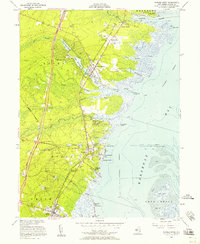
1953 Map of Forked River
USGS Topo · Published 1958About this map
Barnegat Bay defines the eastern boundary of this mid-century coastal survey, where the maritime and rail history of Ocean County are on full display. The Central RR of New Jersey runs north-to-south, connecting the fishing and residential centers of Lanoka Harbor, Forked River, and Waretown. This era shows a transition in transportation, as the Garden State Parkway (Toll Road) appears in its early development to the west, cutting through the pine barrens and intersecting New Jersey State Road 532.
Find a feature on this map
59 named features on this map. Tap any name to fly to it.
Don’t see what you’re looking for? This feature index may not catch every label — zoom into the map to look around manually.
Map Details
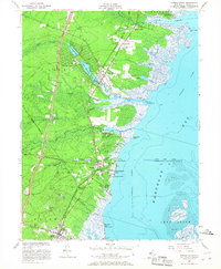
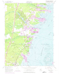
Editions of this 1953 Forked River Map
3 editions found
Other maps of this area

1884 · Whitings
USGS Topo · 1:62,500

1888 · Barnegat
USGS Topo · 1:62,500

1888 · Little Egg Harbor
USGS Topo · 1:62,500

1888 · Long Beach
USGS Topo · 1:62,500

1888 · Whitings
USGS Topo · 1:62,500

1893 · Little Egg Harbor
USGS Topo · 1:62,500

1893 · Long Beach
USGS Topo · 1:62,500

1893 · Barnegat
USGS Topo · 1:62,500

1898 · Barnegat
USGS Topo · 1:62,500

1919 · Long Beach
USGS Topo · 1:62,500