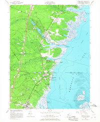
1953 Map of Forked River
USGS Topo · Published 1967About this map
Forked River and its neighboring shore communities sit at a moment of mid-century transition, where the coastal wilderness of the Pine Barrens meets the growing vacation economy of Barnegat Bay. The landscape is defined by the sharp contrast between the engineering of the Garden State Parkway and the traditional marshland industries evidenced by Cranberry Bog locations near Waretown. Settlement patterns follow the Central RR of New Jersey, which links the village centers of Lanoka Harbor, Murray Grove, and Barnegat. Along the waterfront, numerous harbors such as Sands Point Harbor and Liberty Harbor illustrate the area's maritime focus, while interior landmarks like the State Game Farm and the U S Navy Range Sta reflect various public and military uses of the surrounding forests.
Find a feature on this map
52 named features on this map. Tap any name to fly to it.
Don’t see what you’re looking for? This feature index may not catch every label — zoom into the map to look around manually.
Map Details
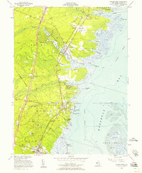
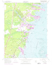
Editions of this 1953 Forked River Map
3 editions found
Other maps of this area

1884 · Whitings
USGS Topo · 1:62,500

1888 · Barnegat
USGS Topo · 1:62,500

1888 · Little Egg Harbor
USGS Topo · 1:62,500

1888 · Long Beach
USGS Topo · 1:62,500

1888 · Whitings
USGS Topo · 1:62,500

1893 · Little Egg Harbor
USGS Topo · 1:62,500

1893 · Long Beach
USGS Topo · 1:62,500

1893 · Barnegat
USGS Topo · 1:62,500

1898 · Barnegat
USGS Topo · 1:62,500

1919 · Long Beach
USGS Topo · 1:62,500