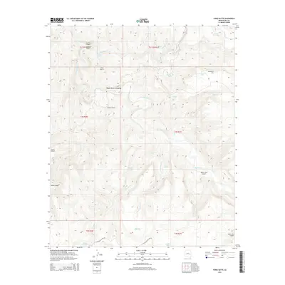
2014 Map of Forks Butte
USGS Topo · Published 2014About this map
Black River Crossing serves as a central point of reference in this high-altitude landscape where the White River and Black River converge to form the Salt River. The topography is defined by significant elevation changes, from the depths of the Salt River Canyon to the heights of Forks Butte and the Sevenmile Rim. This 2014 survey documents a network of Bureau of Indian Affairs routes, including Bia-3 and Bia-2, which provide access to a remote backcountry punctuated by essential water sources like Warm Spring, Maverick Spring, and Pineasco Spring. The drainage patterns are intricate, with Amos Wash, Deer Cr, and Packing-Horse Cr carving through the terrain. The presence of numerous tanks, such as Four Diamond Tank and Jackson Hole Tank, alongside names like Victor Pasture, indicates the area's continued importance for livestock and resource management within the canyon systems.
Find a feature on this map
40 named features on this map. Tap any name to fly to it.
Don’t see what you’re looking for? This feature index may not catch every label — zoom into the map to look around manually.
Map Details
Editions of this 2014 Forks Butte Map
This is the sole edition of this map. No revisions or reprints were ever made.
Other maps of this area

1954 · Mesa
USGS Topo · 1:250,000

1957 · Mesa
USGS Topo · 1:250,000

1958 · Mesa
USGS Topo · 1:250,000

1960 · Mesa
USGS Topo · 1:250,000

1964 · Mesa
USGS Topo · 1:250,000

1966 · Georges Butte
USGS Topo · 1:24,000

1966 · Popcorn Canyon
USGS Topo · 1:24,000
1966 · Forks Butte
USGS Topo · 1:24,000
1966 · Cone Butte
USGS Topo · 1:24,000
1966 · Sontag Creek
USGS Topo · 1:24,000