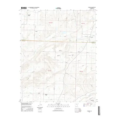
2017 Map of Formosa
USGS Topo · Published 2017About this map
Woolverton Mtn serves as a prominent landmark in this section of the Ozark foothills, where the boundary between Van Buren Co and Conway Co cuts through the landscape. The settlement pattern is defined by high-ground communities such as Pleasant Grove, Claude, and Formosa, linked by a network of rural roads that navigate the drainage basins of E Fork Point Remove Cr and Sheepskin Cr. Genealogists will find significant local history preserved at the Woolverton Mountain Cem, Halbrooks Cem, and Pleasant Hill Cem. The terrain is characterized by a series of ridges and hollows, including Grassy Hollow and Slick Rock Cr, illustrating the typical upland topography of north-central Arkansas. Small clusters of residences at Austin and Pleasant Hill reveal the enduring rural character of these townships in the late 2010s.
Find a feature on this map
61 named features on this map. Tap any name to fly to it.
Don’t see what you’re looking for? This feature index may not catch every label — zoom into the map to look around manually.
Map Details
Editions of this 2017 Formosa Map
This is the sole edition of this map. No revisions or reprints were ever made.
Other maps of this area

1892 · Marshall
USGS Topo · 1:125,000

1892 · Mountain View
USGS Topo · 1:125,000

1892 · Morrillton
USGS Topo · 1:125,000

1894 · Mountain View
USGS Topo · 1:125,000

1894 · Morrillton
USGS Topo · 1:125,000

1894 · Marshall
USGS Topo · 1:125,000

1901 · Marshall
USGS Topo · 1:125,000

1956 · Russellville
USGS Topo · 1:250,000

1961 · Bee Branch
USGS Topo · 1:62,500

1961 · Bee Branch
USGS Topo · 1:24,000