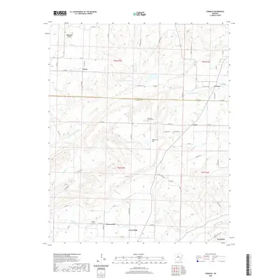
2020 Map of Formosa
USGS Topo · Published 2020About this map
Woolverton Mtn dominates the central landscape of this survey, standing as a prominent landmark at the border of Van Buren and Conway counties. The area is characterized by a network of rural settlements and agricultural tracts, with Pleasant Grove and Claude in the north and Center Ridge and Friendship at the southern edge. The terrain is defined by a dendritic drainage system including the E Fork Point Remove Cr and Sheepskin Cr, which have shaped the many ridges and hollows that define the local topography.
Find a feature on this map
62 named features on this map. Tap any name to fly to it.
Don’t see what you’re looking for? This feature index may not catch every label — zoom into the map to look around manually.
Map Details
Editions of this 2020 Formosa Map
This is the sole edition of this map. No revisions or reprints were ever made.
Other maps of this area

1892 · Marshall
USGS Topo · 1:125,000

1892 · Mountain View
USGS Topo · 1:125,000

1892 · Morrillton
USGS Topo · 1:125,000

1894 · Mountain View
USGS Topo · 1:125,000

1894 · Morrillton
USGS Topo · 1:125,000

1894 · Marshall
USGS Topo · 1:125,000

1901 · Marshall
USGS Topo · 1:125,000

1956 · Russellville
USGS Topo · 1:250,000

1961 · Bee Branch
USGS Topo · 1:62,500

1961 · Bee Branch
USGS Topo · 1:24,000