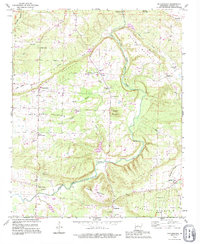
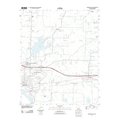
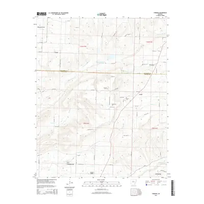
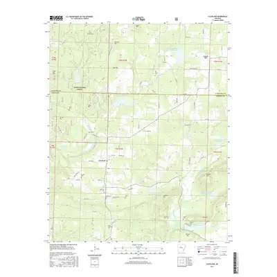
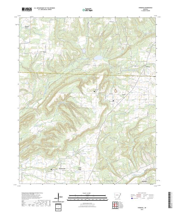
1991 Map of Formosa
USGS Topo · Published 1995About this map
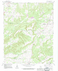
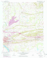
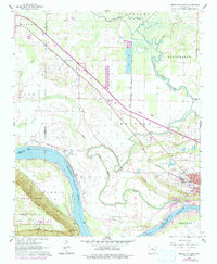
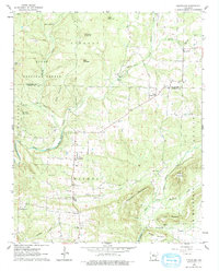
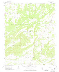
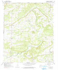
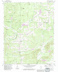
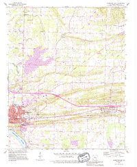
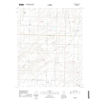
Woolverton Mountain dominates the central landscape of this North Central Arkansas region, where the county line separates Van Buren and Conway counties. The area is defined by a series of small, upland agricultural settlements and crossroads that have served local families for generations, including Formosa, Claude, and Center Ridge. The map documents a dense network of local cemeteries and rural congregations such as Woolverton Mountain Cem, Mountain View Ch, and Sweet Home Ch, which are critical landmarks for genealogists and local historians. Waterways like Point Remove Creek and Hogans Creek cut through the terrain, illustrating the traditional drainage patterns that influenced early homesteading and road placement in these hills.
Find a feature on this map
24 named features on this map. Tap any name to fly to it.
Don’t see what you’re looking for? This feature index may not catch every label — zoom into the map to look around manually.
Map Details
Editions of this 1991 Formosa Map
This is the sole edition of this map. No revisions or reprints were ever made.
Historical Maps of Claude Through Time
37 maps found

1889 Morrilton No. 3
Conway County, AR

1892 Morrillton
Conway County, AR
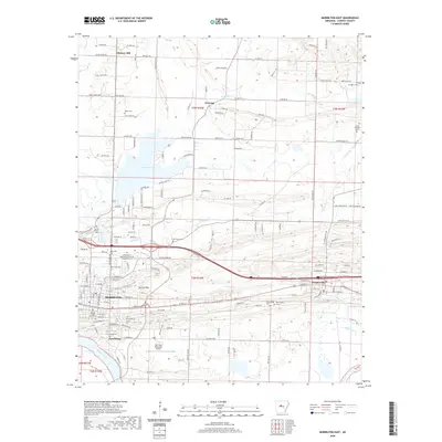
1961 Morrilton East
Conway County, AR
1961 Morrilton West
Conway County, AR
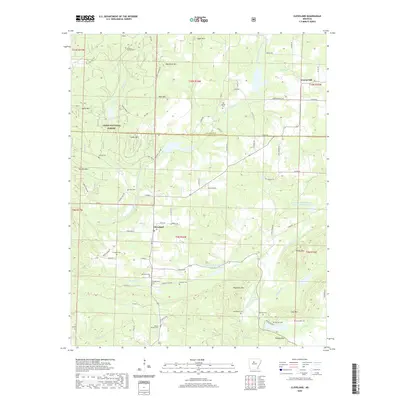
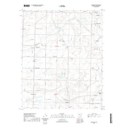
1962 Cleveland
Conway County, AR
1962 Formosa
Conway County, AR
1962 Solgohachia
Conway County, AR
1990 Cleveland
Conway County, AR
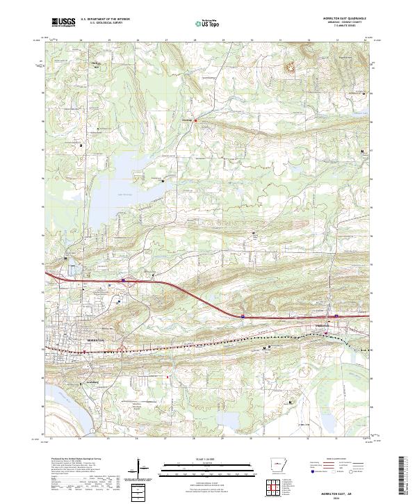
1990 Morrilton East
Conway County, AR
1990 Solgohachia
Conway County, AR
1991 Formosa
Conway County, AR
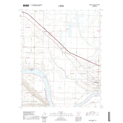
1991 Morrilton West
Conway County, AR
2011 Cleveland
Conway County, AR
2011 Formosa
Conway County, AR
2011 Morrilton East
Conway County, AR
2011 Morrilton West
Conway County, AR
2011 Solgohachia
Conway County, AR
2014 Cleveland
Conway County, AR
2014 Formosa
Conway County, AR
2014 Morrilton East
Conway County, AR
2014 Morrilton West
Conway County, AR
2014 Solgohachia
Conway County, AR
2017 Cleveland
Conway County, AR
2017 Formosa
Conway County, AR
2017 Morrilton East
Conway County, AR
2017 Morrilton West
Conway County, AR
2017 Solgohachia
Conway County, AR
2020 Cleveland
Conway County, AR
2020 Formosa
Conway County, AR
2020 Morrilton East
Conway County, AR
2020 Morrilton West
Conway County, AR
2020 Solgohachia
Conway County, AR
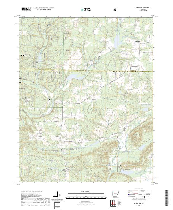
2024 Cleveland
Conway County, AR
2024 Formosa
Conway County, AR
2024 Morrilton East
Conway County, AR
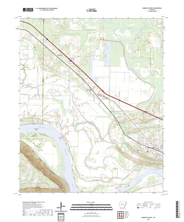
2024 Morrilton West
Conway County, AR
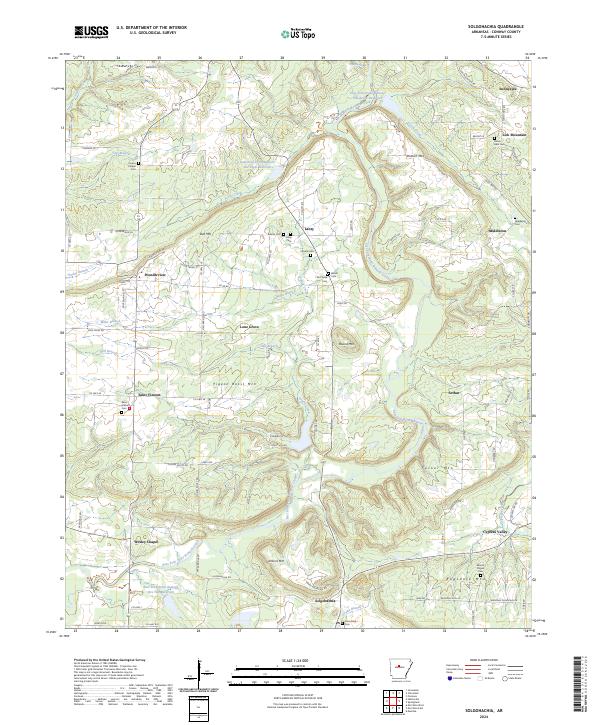
2024 Solgohachia
Conway County, AR