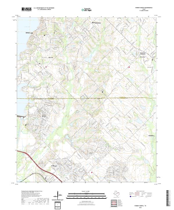
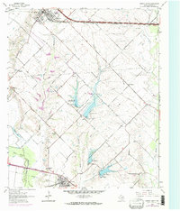
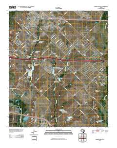
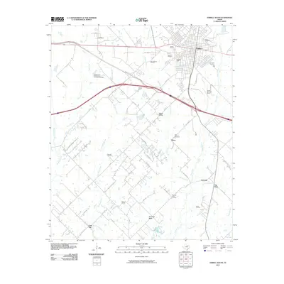
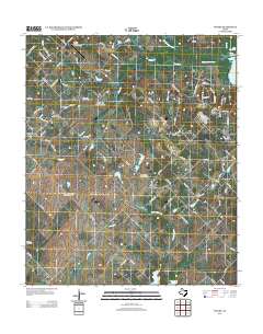
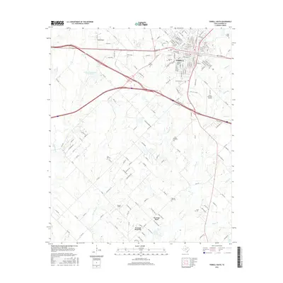
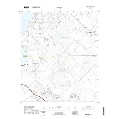
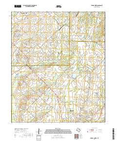
2022 Map of Forney North
USGS Topo · Published 2022About this map
The East Fork Trinity River corridor and the shores of Ray Hubbard Lake anchor this topographic view of the rapidly developing borderland between Rockwall and Kaufman counties. This 2022 survey captures the residential expansion of communities like Heath and Travis Ranch, while preserving the locations of numerous family and community burial grounds that predate the modern suburbs. Features such as Hillcrest Cem near Forney and the Chisholm Chapel Cem in the McLendon-Chisholm area provide critical touchpoints for genealogists and local historians tracking the early settlement of North Texas.
Find a feature on this map
252 named features on this map. Tap any name to fly to it.
Don’t see what you’re looking for? This feature index may not catch every label — zoom into the map to look around manually.
Map Details
Editions of this 2022 Forney North Map
This is the sole edition of this map. No revisions or reprints were ever made.
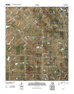
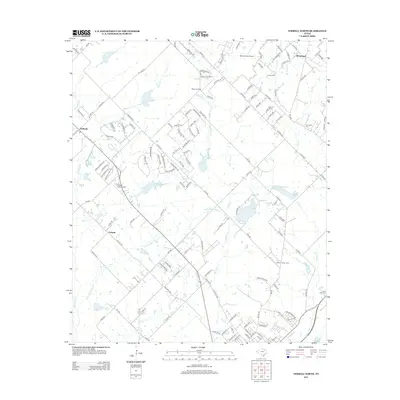
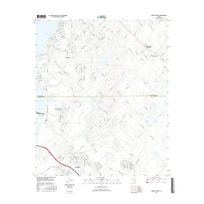
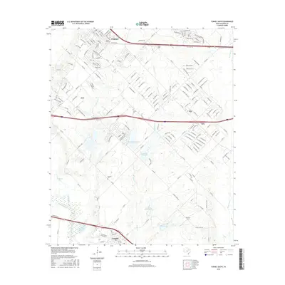
Historical Maps of Dallas Through Time
37 maps found
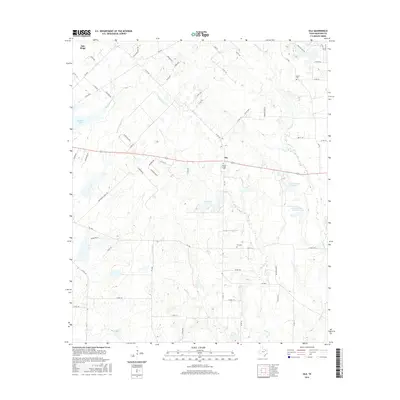
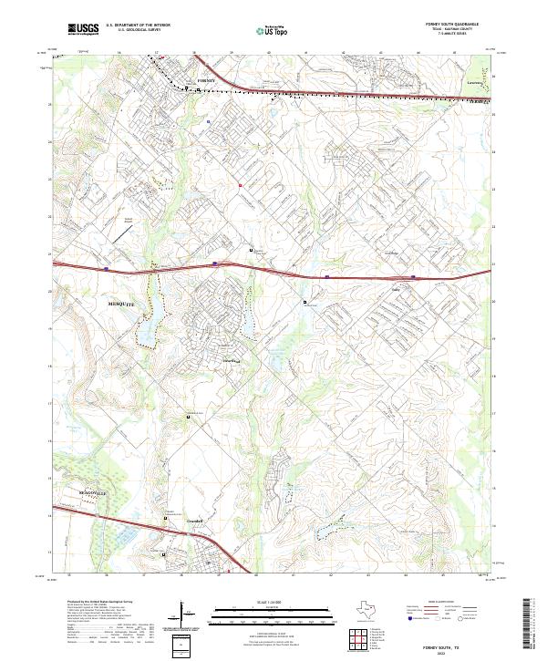
1962 Ola
Kaufman County, TX
1962 Terrell North
Kaufman County, TX
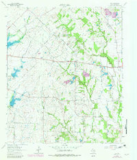
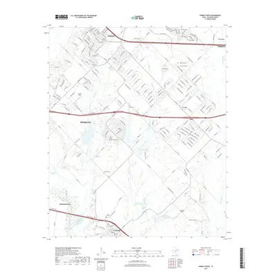
1963 Forney North
Kaufman County, TX
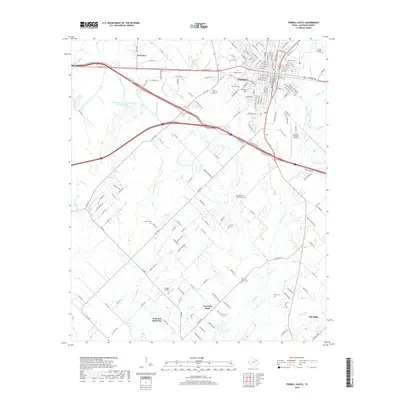
1963 Forney South
Kaufman County, TX
1963 Terrell South
Kaufman County, TX
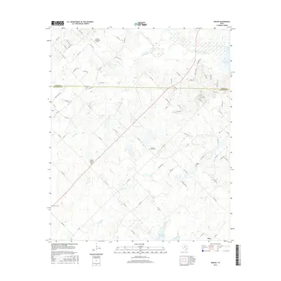
1980 Poetry
Kaufman County, TX
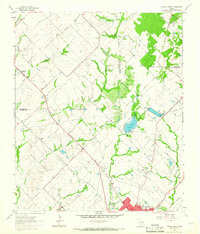
1995 Forney North
Kaufman County, TX
2010 Forney South
Kaufman County, TX
2010 Ola
Kaufman County, TX
2010 Poetry
Kaufman County, TX
2010 Terrell North
Kaufman County, TX
2010 Terrell South
Kaufman County, TX

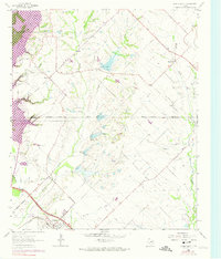
2011 Forney North
Kaufman County, TX
2012 Forney North
Kaufman County, TX
2012 Forney South
Kaufman County, TX
2012 Ola
Kaufman County, TX
2012 Poetry
Kaufman County, TX
2012 Terrell North
Kaufman County, TX

2012 Terrell South
Kaufman County, TX
2016 Forney North
Kaufman County, TX
2016 Forney South
Kaufman County, TX
2016 Ola
Kaufman County, TX
2016 Poetry
Kaufman County, TX
2016 Terrell North
Kaufman County, TX
2016 Terrell South
Kaufman County, TX
2019 Forney North
Kaufman County, TX
2019 Forney South
Kaufman County, TX
2019 Ola
Kaufman County, TX
2019 Poetry
Kaufman County, TX
2019 Terrell North
Kaufman County, TX
2019 Terrell South
Kaufman County, TX
2022 Forney North
Kaufman County, TX
2022 Forney South
Kaufman County, TX
2022 Ola
Kaufman County, TX
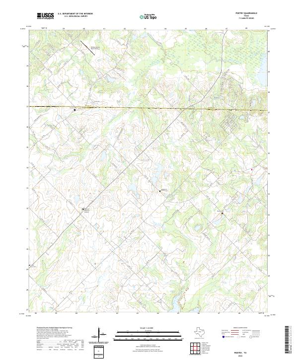
2022 Poetry
Kaufman County, TX
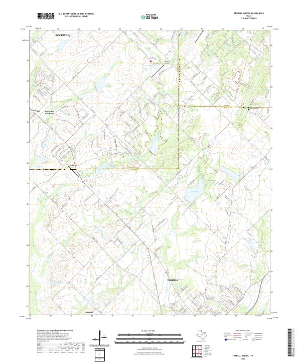
2022 Terrell North
Kaufman County, TX
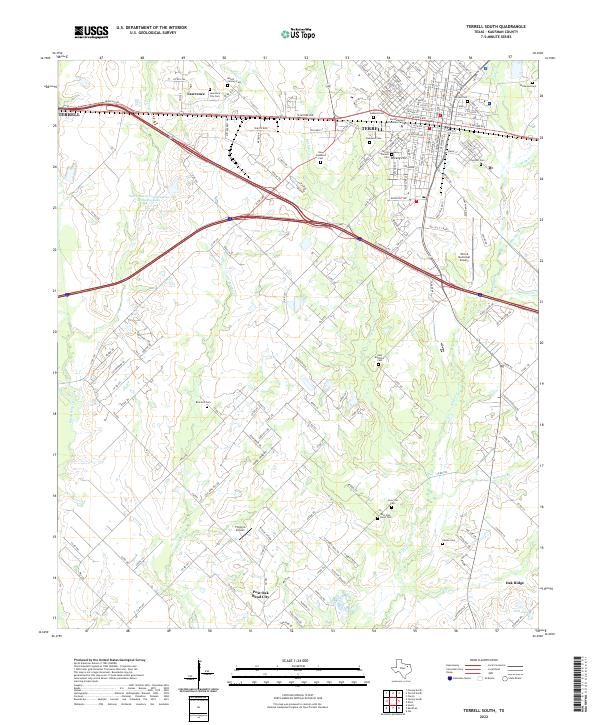
2022 Terrell South
Kaufman County, TX