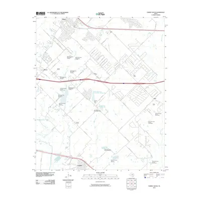
2010 Map of Forney South
USGS Topo · Published 2010About this map
Crandall and Talty anchor this landscape southeast of the Dallas-Fort Worth metroplex, showing a transition from small Texas towns to developing residential corridors. The map highlights a significant network of water management, evidenced by numerous numbered Soil Conservation Service sites and the Lower East Fork Lateral systems. These structures dominate the drainage basins of Mustang Creek and Buffalo Creek, reflecting a managed hydraulic environment designed to protect the surrounding agricultural and residential lands.
Find a feature on this map
82 named features on this map. Tap any name to fly to it.
Don’t see what you’re looking for? This feature index may not catch every label — zoom into the map to look around manually.
Map Details
Editions of this 2010 Forney South Map
This is the sole edition of this map. No revisions or reprints were ever made.
Other maps of this area

1891 · Dallas
USGS Topo · 1:125,000

1893 · Dallas
USGS Topo · 1:125,000

1919 · Royse City
USGS Topo · 1:62,500

1954 · Dallas
USGS Topo · 1:250,000

1956 · Kaufman
USGS Topo · 1:62,500

1958 · Dallas
USGS Topo · 1:250,000

1959 · Mesquite
USGS Topo · 1:24,000

1959 · Seagoville
USGS Topo · 1:24,000

1959 · India
USGS Topo · 1:24,000

1959 · Seagoville
USGS Topo · 1:62,500