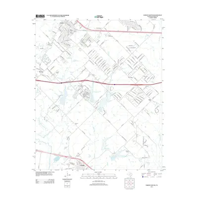
2012 Map of Forney South
USGS Topo · Published 2012About this map
Forney and Crandall serve as the primary anchors of this 2012 survey, illustrating the continued suburban expansion in Kaufman County. The landscape is defined by the drainage systems of Mustang Creek and Buffalo Creek, which feed into the East Fork Trinity River in the southwest corner. Local aviation history is represented by three distinct facilities: Smith Field Airport, Sunset Airport, and Bennetts Airport. Genealogists and local historians will find several burial sites preserved amidst the residential development, including Shipley Cemetery, Blackland Cemetery, and Prairie View Cemetery. The terrain rises to the Irish Ridge east of Markout, while water management is evidenced by a series of flood control structures such as Lower East Fork Lateral Site Number One and Lateral Site Number Four.
Find a feature on this map
198 named features on this map. Tap any name to fly to it.
Don’t see what you’re looking for? This feature index may not catch every label — zoom into the map to look around manually.
Map Details
Editions of this 2012 Forney South Map
This is the sole edition of this map. No revisions or reprints were ever made.
Other maps of this area

1891 · Dallas
USGS Topo · 1:125,000

1893 · Dallas
USGS Topo · 1:125,000

1919 · Royse City
USGS Topo · 1:62,500

1954 · Dallas
USGS Topo · 1:250,000

1956 · Kaufman
USGS Topo · 1:62,500

1958 · Dallas
USGS Topo · 1:250,000

1959 · Mesquite
USGS Topo · 1:24,000

1959 · Seagoville
USGS Topo · 1:24,000

1959 · India
USGS Topo · 1:24,000

1959 · Seagoville
USGS Topo · 1:62,500