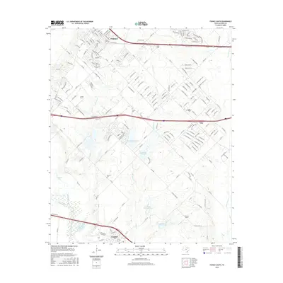
2016 Map of Forney South
USGS Topo · Published 2016About this map
Forney and Crandall anchor this landscape, connected by a network of rural roads and emerging residential developments. The area is defined by the winding course of the East Fork Trinity River and its tributaries, including Mustang Cr and Buffalo Cr. Local aviation is a notable theme, with Smith Field, Sunset Airport, and Bennetts Airport distributed across the terrain. For genealogists and local historians, several burial grounds are preserved here, such as Prairie View Cem, Shipley Cem, and Blackland Cem. The map captures a moment of transition where traditional agricultural lands meet suburban expansion near the village of Talty. Significant hydrological management is evident through multiple lateral sites along the creek beds, while the prominent elevation of Irish Ridge rises above the surrounding plains.
Find a feature on this map
185 named features on this map. Tap any name to fly to it.
Don’t see what you’re looking for? This feature index may not catch every label — zoom into the map to look around manually.
Map Details
Editions of this 2016 Forney South Map
This is the sole edition of this map. No revisions or reprints were ever made.
Other maps of this area

1891 · Dallas
USGS Topo · 1:125,000

1893 · Dallas
USGS Topo · 1:125,000

1919 · Royse City
USGS Topo · 1:62,500

1954 · Dallas
USGS Topo · 1:250,000

1956 · Kaufman
USGS Topo · 1:62,500

1958 · Dallas
USGS Topo · 1:250,000

1959 · Mesquite
USGS Topo · 1:24,000

1959 · Seagoville
USGS Topo · 1:24,000

1959 · India
USGS Topo · 1:24,000

1959 · Seagoville
USGS Topo · 1:62,500