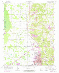
1958 Map of Forrest City
USGS Topo · Published 1977About this map
Crowleys Ridge rises prominently above the surrounding alluvial plains, serving as the topographical anchor for Forrest City and its northward neighbor, Caldwell. This 1958 survey, updated with 1976 revisions, shows the post-war expansion of the city as it pushes toward the ridge, with newer residential areas appearing in purple tint. The landscape is defined by a dense network of rural institutions, including Lincoln High Sch and St Francis Sch, alongside numerous community churches like Mt Zion Ch and Wesley Chapel. Transportation routes such as the Missouri Pacific and the Chicago Rock Island and Pacific railroads intersect near the city center, highlighting the area's role as a regional transit hub. Extensive gravel operations, marked by numerous Gravel Pits, demonstrate the industrial utilization of the ridge’s unique geological composition.
Find a feature on this map
39 named features on this map. Tap any name to fly to it.
Don’t see what you’re looking for? This feature index may not catch every label — zoom into the map to look around manually.
Map Details
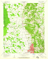
Editions of this 1958 Forrest City Map
2 editions found
Other maps of this area

1939 · Park Place
USGS Topo · 1:62,500

1939 · Wynne
USGS Topo · 1:62,500

1940 · Whitmore
USGS Topo · 1:62,500

1940 · Marianna
USGS Topo · 1:62,500

1948 · Helena
USGS Topo · 1:250,000

1950 · Helena
USGS Topo · 1:250,000

1953 · Memphis
USGS Topo · 1:250,000

1955 · Park Place
USGS Topo · 1:62,500

1955 · Helena
USGS Topo · 1:250,000

1956 · Memphis
USGS Topo · 1:250,000