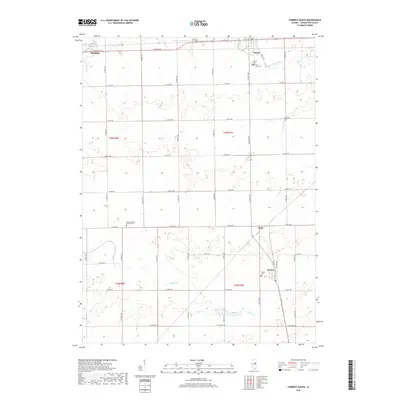
2018 Map of Forrest South
USGS Topo · Published 2018About this map
The agrarian landscape of eastern Livingston County is defined by a rigorous section-line road grid that connects scattered rural settlements and family cemeteries. Near the northern boundary, the village of Forrest is situated south of the S Fork Vermilion River, while the small community of Strawn serves as a southern anchor alongside the Strawn Cem. The terrain is generally level, primarily drained by the winding course of Indian Creek as it moves through Township 25 North.
Find a feature on this map
38 named features on this map. Tap any name to fly to it.
Don’t see what you’re looking for? This feature index may not catch every label — zoom into the map to look around manually.
Map Details
Editions of this 2018 Forrest South Map
This is the sole edition of this map. No revisions or reprints were ever made.
Other maps of this area

1935 · Pontiac
USGS Topo · 1:62,500

1939 · Pontiac
USGS Topo · 1:62,500

1947 · Sibley
USGS Topo · 1:62,500

1947 · Cullom
USGS Topo · 1:62,500

1949 · Cullom
USGS Topo · 1:62,500

1949 · Sibley
USGS Topo · 1:62,500

1957 · Colfax
USGS Topo · 1:62,500

1958 · Peoria
USGS Topo · 1:250,000

1961 · Peoria
USGS Topo · 1:250,000

1963 · Peoria
USGS Topo · 1:250,000