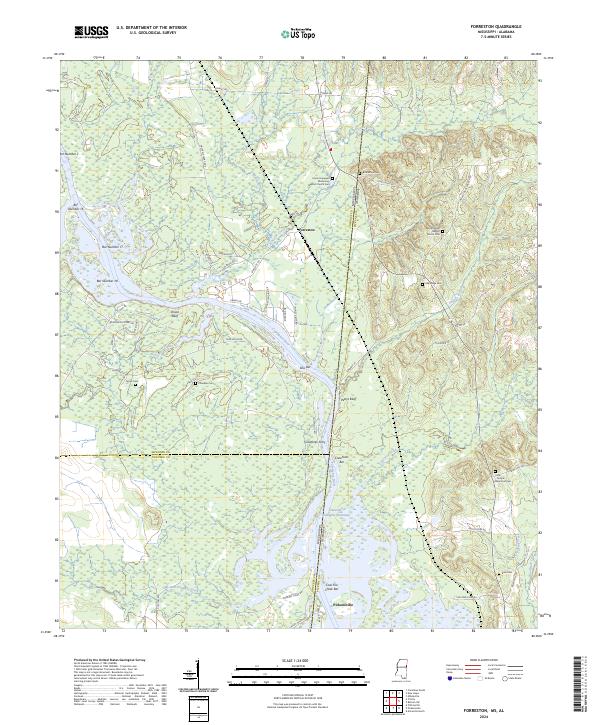
2024 Map of Forreston
USGS Topo · Published 2024About this map
The Tombigbee River forms a jagged border between Lowndes County, Mississippi, and Pickens County, Alabama, anchoring a landscape shaped by river navigation and rural congregational life. The community of Forreston sits near the riverbanks, where numerous sand and gravel bars such as Bar Number 18 and Ellis Bar once served as navigational markers and landmarks. Along the Tennessee-Tombigbee Waterway, the terrain transitions from the low-lying wetlands of Broken Pumpkin Creek to the prominent heights of Pettys Bluff.
Find a feature on this map
73 named features on this map. Tap any name to fly to it.
Don’t see what you’re looking for? This feature index may not catch every label — zoom into the map to look around manually.
Map Details
Editions of this 2024 Forreston Map
This is the sole edition of this map. No revisions or reprints were ever made.
Historical Maps of Alabama Through Time
14 maps found
1987 Bent Oak
Lowndes County, MS
1987 Columbus North
Lowndes County, MS
1987 Columbus South
Lowndes County, MS
1987 Crawford East
Lowndes County, MS
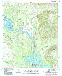
1987 Forreston
Lowndes County, MS
1987 Steens
Lowndes County, MS
1987 Trinity
Lowndes County, MS
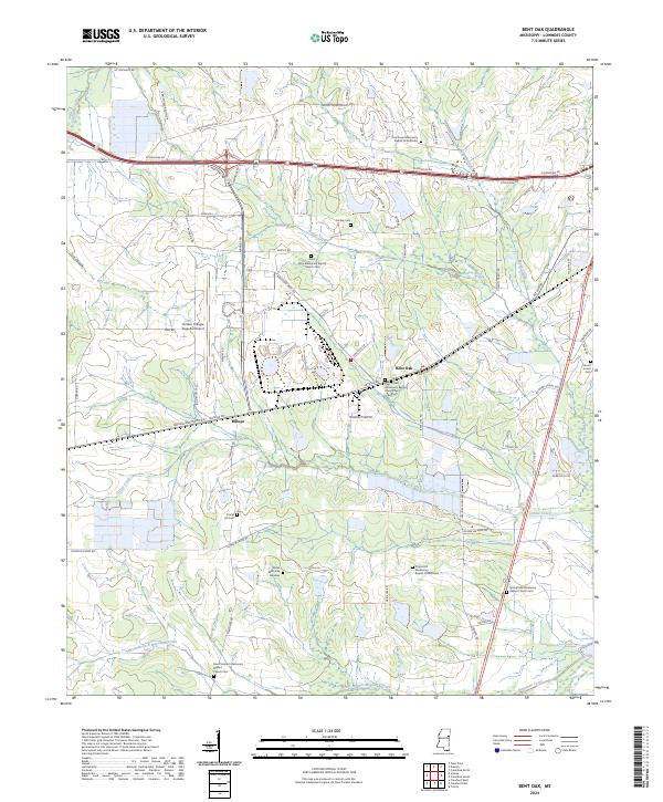
2024 Bent Oak
Lowndes County, MS
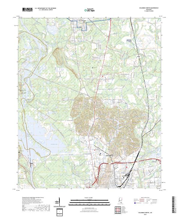
2024 Columbus North
Lowndes County, MS
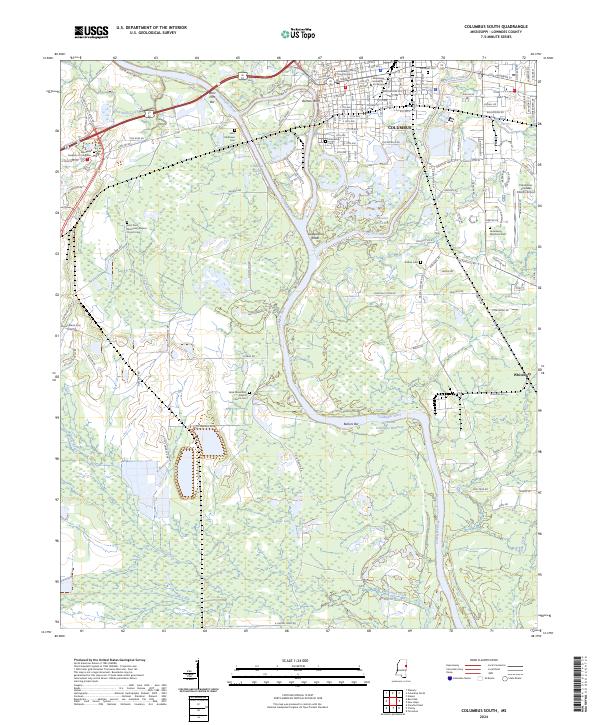
2024 Columbus South
Lowndes County, MS
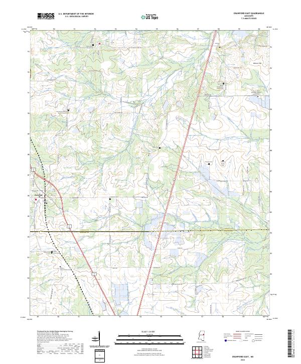
2024 Crawford East
Lowndes County, MS
2024 Forreston
Lowndes County, MS
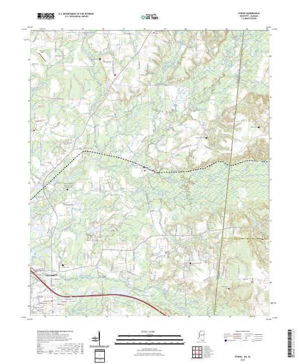
2024 Steens
Lowndes County, MS
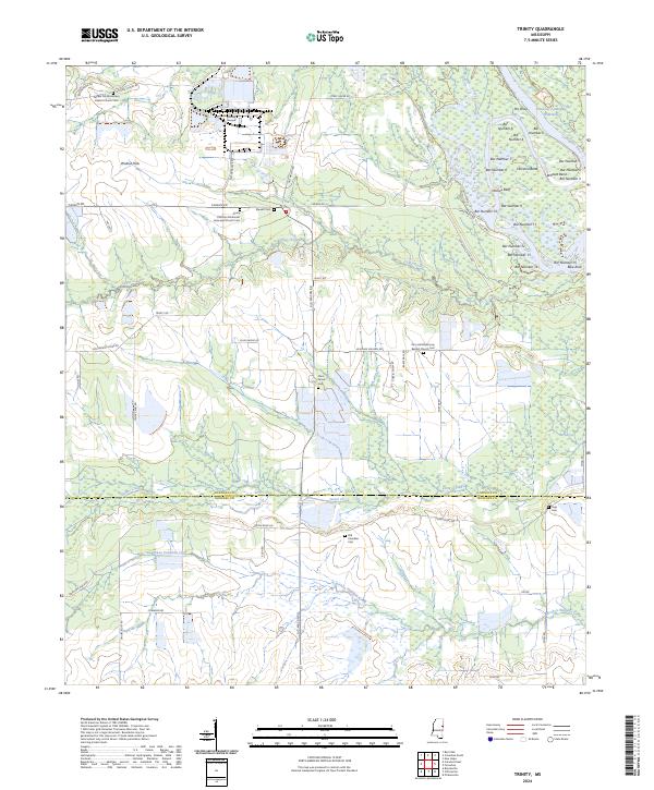
2024 Trinity
Lowndes County, MS