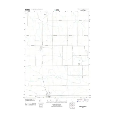
2012 Map of Forreston North
USGS Topo · Published 2012About this map
Baileyville and the northern outskirts of Forreston anchor this 2012 survey of the Illinois prairie, where a strictly geometric road grid overlays a landscape carved by the Leaf River and its tributaries. The terrain is defined by subtle but distinct elevations such as Hardpan Ridge and the prominent Coffman Bluff overlooking Coffman Lake. For genealogists, the map identifies local burial sites like Coffman Cem and White Oak Cem, while aviation landmarks including Albertus Airport and Rummel RLA Airport reflect the region's modern infrastructure. The drainage patterns of Silver Cr, Mud Cr, and Elkhorn Cr illustrate how water shapes the agriculture-heavy Ogle and Stephenson County borderlands.
Find a feature on this map
54 named features on this map. Tap any name to fly to it.
Don’t see what you’re looking for? This feature index may not catch every label — zoom into the map to look around manually.
Map Details
Editions of this 2012 Forreston North Map
This is the sole edition of this map. No revisions or reprints were ever made.
Other maps of this area

1922 · Oregon
USGS Topo · 1:62,500

1924 · Oregon
USGS Topo · 1:62,500

1932 · Pecatonica
USGS Topo · 1:62,500

1936 · Pecatonica
USGS Topo · 1:62,500

1939 · Freeport
USGS Topo · 1:48,000

1942 · Forreston
USGS Topo · 1:62,500

1944 · Freeport
USGS Topo · 1:62,500

1945 · Forreston
USGS Topo · 1:62,500

1954 · Rockford
USGS Topo · 1:250,000

1955 · Rockford
USGS Topo · 1:250,000