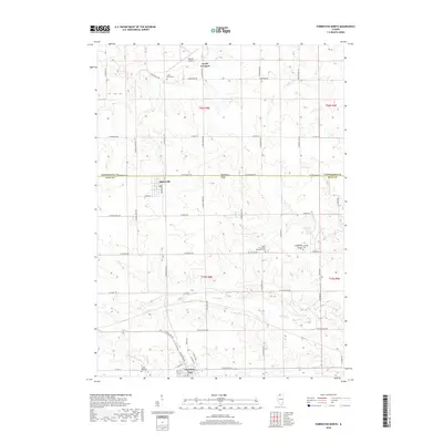
2018 Map of Forreston North
USGS Topo · Published 2018About this map
The agricultural landscape of the Stephenson and Ogle county line is defined by its rural cemeteries and the winding course of the Leaf River. The village of Forreston anchors the southern portion of the map, while Baileyville sits further north along the primary road network. This region preserves significant genealogical landmarks, including North Grove Zion Reformed Cem and Cranes Grove Cem, which dot the township sections.
Find a feature on this map
56 named features on this map. Tap any name to fly to it.
Don’t see what you’re looking for? This feature index may not catch every label — zoom into the map to look around manually.
Map Details
Editions of this 2018 Forreston North Map
This is the sole edition of this map. No revisions or reprints were ever made.
Other maps of this area

1922 · Oregon
USGS Topo · 1:62,500

1924 · Oregon
USGS Topo · 1:62,500

1932 · Pecatonica
USGS Topo · 1:62,500

1936 · Pecatonica
USGS Topo · 1:62,500

1939 · Freeport
USGS Topo · 1:48,000

1942 · Forreston
USGS Topo · 1:62,500

1944 · Freeport
USGS Topo · 1:62,500

1945 · Forreston
USGS Topo · 1:62,500

1954 · Rockford
USGS Topo · 1:250,000

1955 · Rockford
USGS Topo · 1:250,000