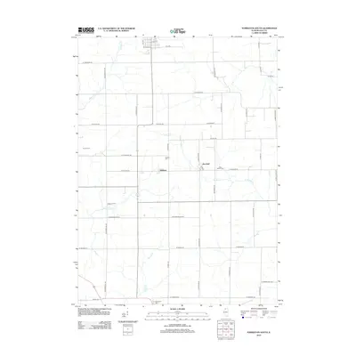
2012 Map of Forreston South
USGS Topo · Published 2012About this map
Haldane and Maryland sit at the center of this agricultural landscape in Ogle County, illustrating the persistent rural grid of Northern Illinois. The map documents a territory defined by small family farmsteads like Oakwood Farm and B and E Farm, alongside several quiet burial grounds including Haldane Cem, West Branch Cem, and Fairmount Cem. The drainage pattern is dictated by the winding paths of Elkhorn Cr and the W Br Pine Cr, which cut through the rectilinear road system. Notable transport routes like W Oregon Trail Rd reflect the deeper history of movement through the region, while the dense network of county roads, such as N Summer Hill Rd and W Lanark Rd, facilitates the movement of grain and livestock across the prairie.
Find a feature on this map
43 named features on this map. Tap any name to fly to it.
Don’t see what you’re looking for? This feature index may not catch every label — zoom into the map to look around manually.
Map Details
Editions of this 2012 Forreston South Map
This is the sole edition of this map. No revisions or reprints were ever made.
Other maps of this area

1918 · Dixon
USGS Topo · 1:62,500

1922 · Oregon
USGS Topo · 1:62,500

1924 · Oregon
USGS Topo · 1:62,500

1930 · Woodsung
USGS Topo · 1:48,000

1942 · Forreston
USGS Topo · 1:62,500

1945 · Forreston
USGS Topo · 1:62,500

1946 · Sterling
USGS Topo · 1:62,500

1948 · Sterling
USGS Topo · 1:62,500

1950 · Dixon
USGS Topo · 1:62,500

1954 · Rockford
USGS Topo · 1:250,000