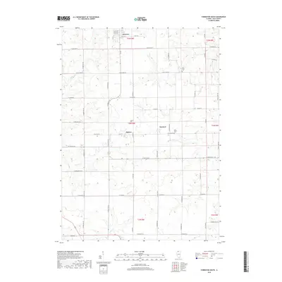
2018 Map of Forreston South
USGS Topo · Published 2018About this map
Forreston sits at the northern edge of this Ogle County landscape, anchoring a rural expanse characterized by the headwaters of Elkhorn Cr and the drainage of Buffalo Cr. The map preserves the placement of small agricultural hubs like Haldane and Maryland, which serve as quiet landmarks within the rectilinear grid of township sections and farm roads. This modern survey illustrates the enduring patterns of Illinois prairie settlement, where local history is recorded in sites like West Grove Cem, Haldane Cem, and West Branch Cem.
Find a feature on this map
53 named features on this map. Tap any name to fly to it.
Don’t see what you’re looking for? This feature index may not catch every label — zoom into the map to look around manually.
Map Details
Editions of this 2018 Forreston South Map
This is the sole edition of this map. No revisions or reprints were ever made.
Other maps of this area

1918 · Dixon
USGS Topo · 1:62,500

1922 · Oregon
USGS Topo · 1:62,500

1924 · Oregon
USGS Topo · 1:62,500

1930 · Woodsung
USGS Topo · 1:48,000

1942 · Forreston
USGS Topo · 1:62,500

1945 · Forreston
USGS Topo · 1:62,500

1946 · Sterling
USGS Topo · 1:62,500

1948 · Sterling
USGS Topo · 1:62,500

1950 · Dixon
USGS Topo · 1:62,500

1954 · Rockford
USGS Topo · 1:250,000