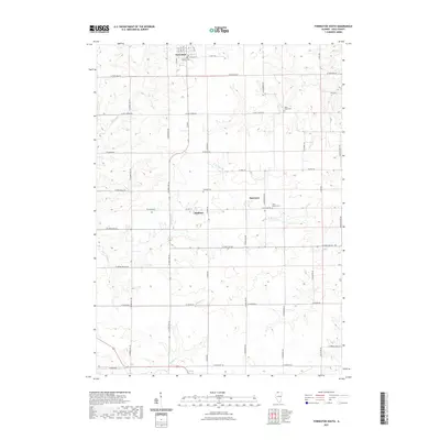
2021 Map of Forreston South
USGS Topo · Published 2021About this map
Forreston sits at the northern edge of this Ogle County landscape, serving as a primary hub for a region defined by its agricultural grid and winding creek systems. The terrain is marked by the branching paths of W Br Pine Cr and Fivemile Cr, which break the regularity of the section lines and township roads. Small settlements and historic centers of community like Haldane and Maryland provide essential anchor points for researchers tracing the rural development of the township.
Find a feature on this map
49 named features on this map. Tap any name to fly to it.
Don’t see what you’re looking for? This feature index may not catch every label — zoom into the map to look around manually.
Map Details
Editions of this 2021 Forreston South Map
This is the sole edition of this map. No revisions or reprints were ever made.
Other maps of this area
1918 · Dixon
USGS Topo · 1:62,500
1922 · Oregon
USGS Topo · 1:62,500
1924 · Oregon
USGS Topo · 1:62,500
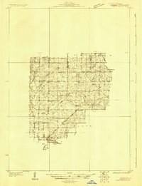
1930 · Woodsung
USGS Topo · 1:48,000
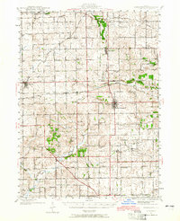
1942 · Forreston
USGS Topo · 1:62,500
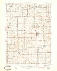
1945 · Forreston
USGS Topo · 1:62,500
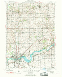
1946 · Sterling
USGS Topo · 1:62,500
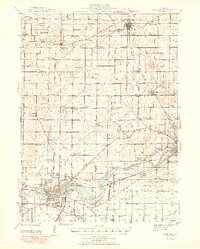
1948 · Sterling
USGS Topo · 1:62,500
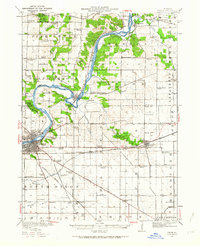
1950 · Dixon
USGS Topo · 1:62,500

1954 · Rockford
USGS Topo · 1:250,000