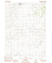
1983 Map of Forreston South
USGS Topo · Published 1984About this map
Forreston anchors the northern boundary of this Ogle County landscape, where the Illinois Central Gulf railroad cuts a straight north-south line through the heart of the prairie. The map captures a transition between the organized grid of Lincoln and Maryland townships and the meandering drainage basins of Elkhorn Creek and the Leaf River. Small rural clusters like Haldane and Maryland serve as local focal points, surrounded by family-named infrastructure such as Springdale Road and Haldane Road.
Find a feature on this map
34 named features on this map. Tap any name to fly to it.
Don’t see what you’re looking for? This feature index may not catch every label — zoom into the map to look around manually.
Map Details
Editions of this 1983 Forreston South Map
This is the sole edition of this map. No revisions or reprints were ever made.
Other maps of this area

1918 · Dixon
USGS Topo · 1:62,500

1922 · Oregon
USGS Topo · 1:62,500

1924 · Oregon
USGS Topo · 1:62,500

1930 · Woodsung
USGS Topo · 1:48,000

1942 · Forreston
USGS Topo · 1:62,500

1945 · Forreston
USGS Topo · 1:62,500

1946 · Sterling
USGS Topo · 1:62,500

1948 · Sterling
USGS Topo · 1:62,500

1950 · Dixon
USGS Topo · 1:62,500

1954 · Rockford
USGS Topo · 1:250,000