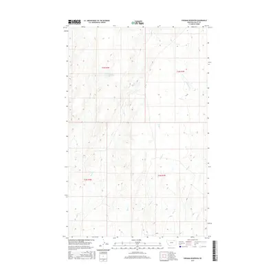
2017 Map of Forsman Reservoir
USGS Topo · Published 2017About this map
Forsman Reservoir sits within a landscape defined by a complex network of seasonal drainages in this section of Valley County. The terrain is characterized by the convergence of several small waterways, including Buggy Cr, Wolf Cr, and Crooked Cr, which weave through the townships of t33n r38e and t32n r39e. This hydrological pattern illustrates the typical drainage systems of the Montana plains, where water management is central to the land's utility. Other notable features include Dry Fork Cr, Spring Cr, and Cherry Cr, providing a detailed look at the local topography as it was documented in the early 21st century.
Find a feature on this map
11 named features on this map. Tap any name to fly to it.
Don’t see what you’re looking for? This feature index may not catch every label — zoom into the map to look around manually.
Map Details
Editions of this 2017 Forsman Reservoir Map
This is the sole edition of this map. No revisions or reprints were ever made.
Other maps of this area

1919 · Boundary
USGS Topo · 1:125,000

1943 · Glasgow
USGS Topo · 1:125,000

1954 · Glasgow
USGS Topo · 1:250,000

1957 · Glasgow
USGS Topo · 1:250,000

1958 · Glasgow
USGS Topo · 1:250,000

1969 · Cornwell Reservoir
USGS Topo · 1:24,000

1969 · Chapman Coulee NE
USGS Topo · 1:24,000
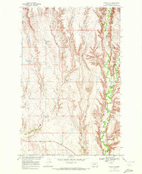
1969 · Tampico NE
USGS Topo · 1:24,000

1984 · Laundry Hill
USGS Topo · 1:24,000

1984 · Opheim
USGS Topo · 1:100,000