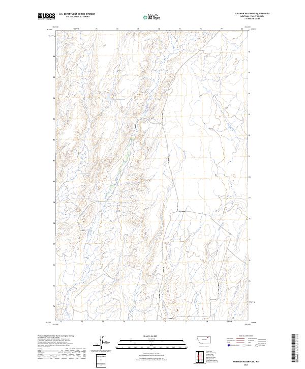
2024 Map of Forsman Reservoir
USGS Topo · Published 2024About this map
Forsman Reservoir sits at the center of this drainage network in rural Valley County, where the landscape is defined by the winding paths of numerous seasonal waterways. The map illustrates a high-plains terrain carved by Buggy Creek and Wolf Creek, which flow through the north-central and southern portions of the territory. This 2024 USGS survey provides a clear look at the intricate hydrography of the region, including the courses of Crooked Creek and Spring Creek. The layout of the land is further detailed through the Public Land Survey System grids, showing the intersections of T33N R38E and T32N R39E. While the area is largely devoid of dense settlements, it is a vital reference for understanding the ranching and water-management landscape of northeastern Montana, where features like Dry Fork Creek and Cherry Creek mark the natural boundaries and resource points for the surrounding prairies.
Find a feature on this map
11 named features on this map. Tap any name to fly to it.
Don’t see what you’re looking for? This feature index may not catch every label — zoom into the map to look around manually.
Map Details
Editions of this 2024 Forsman Reservoir Map
This is the sole edition of this map. No revisions or reprints were ever made.
Other maps of this area

1919 · Boundary
USGS Topo · 1:125,000

1943 · Glasgow
USGS Topo · 1:125,000

1954 · Glasgow
USGS Topo · 1:250,000

1957 · Glasgow
USGS Topo · 1:250,000

1958 · Glasgow
USGS Topo · 1:250,000

1969 · Cornwell Reservoir
USGS Topo · 1:24,000

1969 · Chapman Coulee NE
USGS Topo · 1:24,000
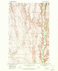
1969 · Tampico NE
USGS Topo · 1:24,000

1984 · Laundry Hill
USGS Topo · 1:24,000

1984 · Opheim
USGS Topo · 1:100,000