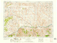
1958 Map of Forsyth
USGS Topo · Published 1958About this map
The Yellowstone River corridor serves as the primary artery for settlement and transport across this mid-century landscape, anchored by the county seat of Forsyth. Parallel to the river, the Northern Pacific railroad facilitates the movement of goods through towns like Rosebud, Hathaway, and Hysham. In the northern stretches of the region, the Musselshell River defines a more remote geography where the Chicago Milwaukee St Paul & Pacific line connects high-plains outposts such as Ingomar and Sumatra.
Find a feature on this map
56 named features on this map. Tap any name to fly to it.
Don’t see what you’re looking for? This feature index may not catch every label — zoom into the map to look around manually.
Map Details
Editions of this 1958 Forsyth Map
This is the sole edition of this map. No revisions or reprints were ever made.
Other maps of this area
1893 · Huntley
USGS Topo · 1:125,000
1894 · Fort Custer
USGS Topo · 1:125,000

1953 · Miles City
USGS Topo · 1:250,000
1954 · Billings
USGS Topo · 1:250,000
1954 · Hardin
USGS Topo · 1:250,000
1954 · Jordan
USGS Topo · 1:250,000
1954 · Ekalaka
USGS Topo · 1:250,000
1954 · Forsyth
USGS Topo · 1:250,000
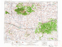
1954 · Roundup
USGS Topo · 1:250,000
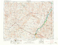
1954 · Glendive
USGS Topo · 1:250,000