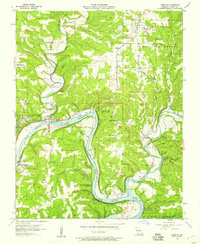
1956 Map of Forsyth
USGS Topo · Published 1957About this map
The White River and its major confluence with Swan Creek define the geography of Taney County in the mid-1950s, shortly after the completion of the Bull Shoals Dam project. This survey illustrates the landscape as it transitioned into a major regional reservoir, with Bull Shoals Lake filling the winding river valley. The county seat of Forsyth is positioned near the junction of these waters, south of the Mark Twain National Forest.
Find a feature on this map
45 named features on this map. Tap any name to fly to it.
Don’t see what you’re looking for? This feature index may not catch every label — zoom into the map to look around manually.
Map Details
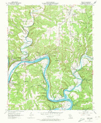
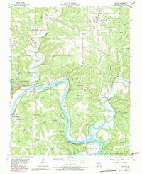
Editions of this 1956 Forsyth Map
3 editions found
Other maps of this area

1907 · Forsyth
USGS Topo · 1:125,000

1937 · Bradleyville
USGS Topo · 1:48,000

1943 · Protem
USGS Topo · 1:62,500

1943 · Bradleyville
USGS Topo · 1:62,500

1945 · Harrison
USGS Topo · 1:250,000

1945 · Bradleyville
USGS Topo · 1:62,500

1949 · Harrison
USGS Topo · 1:250,000

1954 · Harrison
USGS Topo · 1:250,000

1955 · Garrison
USGS Topo · 1:24,000

1955 · Day
USGS Topo · 1:24,000