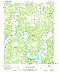
1956 Map of Forsyth
USGS Topo · Published 1983About this map
Bull Shoals Lake and the White River define the local topography of this Missouri Ozarks region, as it was documented following mid-century aerial surveys. The town of Forsyth sits near the junction where Swan Creek meets the river, a central point for the surrounding rural communities of Taneyville, Kissee Mills, and Powersite. The landscape is deeply carved by water, featuring numerous hollows such as Wisdom Hollow and Slough Hollow, alongside notable elevations like Johnson Bluff.
Find a feature on this map
39 named features on this map. Tap any name to fly to it.
Don’t see what you’re looking for? This feature index may not catch every label — zoom into the map to look around manually.
Map Details
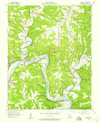
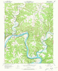
Editions of this 1956 Forsyth Map
3 editions found
Other maps of this area

1907 · Forsyth
USGS Topo · 1:125,000

1937 · Bradleyville
USGS Topo · 1:48,000

1943 · Protem
USGS Topo · 1:62,500

1943 · Bradleyville
USGS Topo · 1:62,500

1945 · Harrison
USGS Topo · 1:250,000

1945 · Bradleyville
USGS Topo · 1:62,500

1949 · Harrison
USGS Topo · 1:250,000

1954 · Harrison
USGS Topo · 1:250,000

1955 · Garrison
USGS Topo · 1:24,000

1955 · Day
USGS Topo · 1:24,000