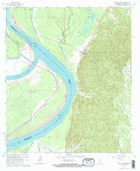
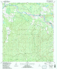
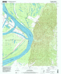
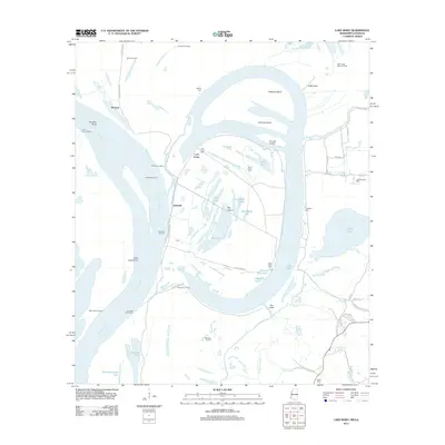
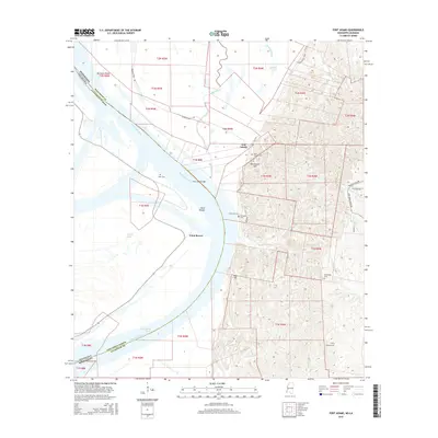
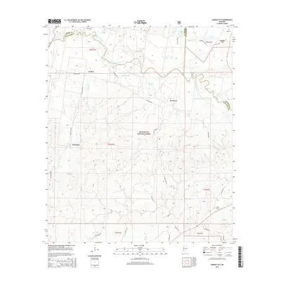
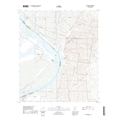
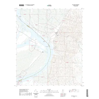
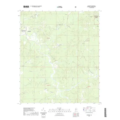
1965 Map of Fort Adams
USGS Topo · Published 1966About this map
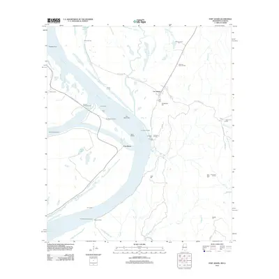
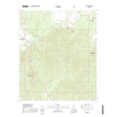
The Mississippi River dominates this mid-1960s landscape where it forms the border between Wilkinson County, Mississippi, and Concordia Parish, Louisiana. At the foot of the bluffs sits the historic community of Fort Adams, a site of significant strategic importance since the late 18th century. The intricate hydrography of the region is well-documented, showing the Buffalo River winding through the lowlands to the north and the complex Outflow Channel systems near the Old River Control Structure.
Find a feature on this map
30 named features on this map. Tap any name to fly to it.
Don’t see what you’re looking for? This feature index may not catch every label — zoom into the map to look around manually.
Map Details
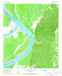
Editions of this 1965 Fort Adams Map
2 editions found
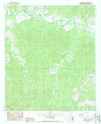
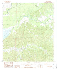
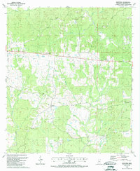
Historical Maps of Fort Adams Through Time
57 maps found
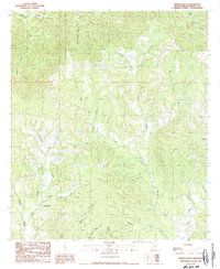
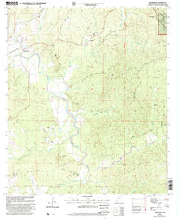
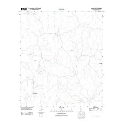
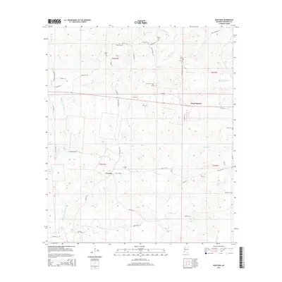
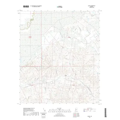
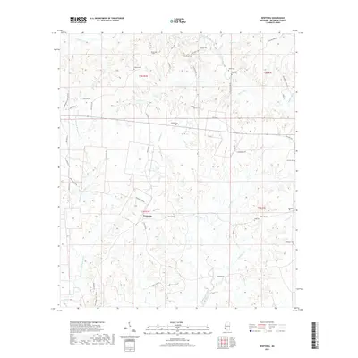
1965 Fort Adams
Wilkinson County, MS
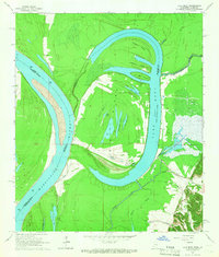
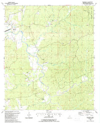
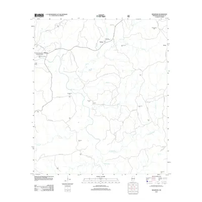
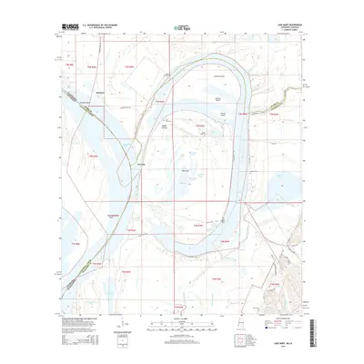
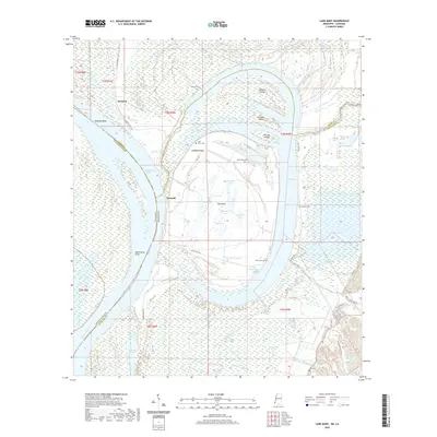
1965 Lake Mary
Wilkinson County, MS
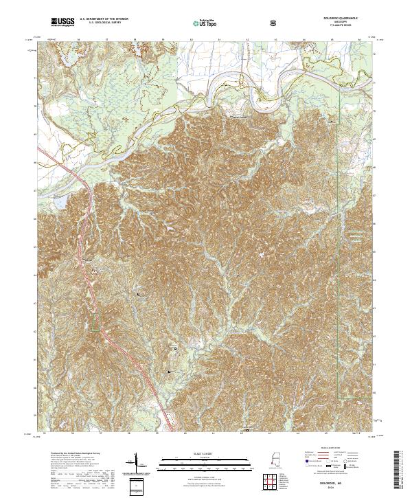
1988 Doloroso
Wilkinson County, MS
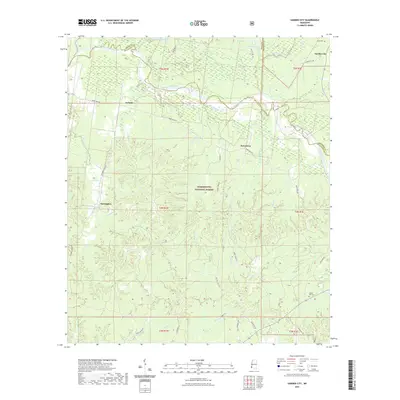
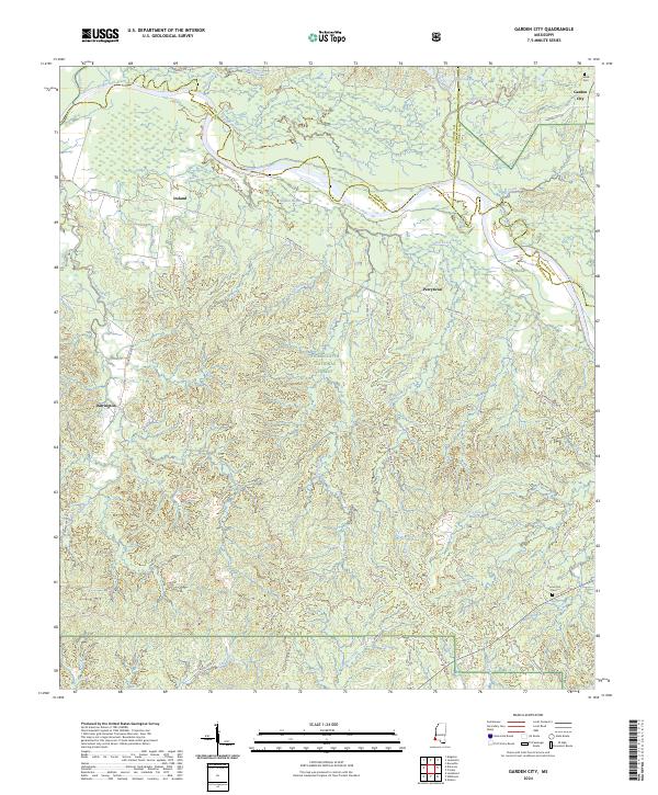
1988 Garden City
Wilkinson County, MS
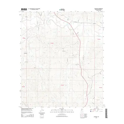
1988 Laneheart
Wilkinson County, MS
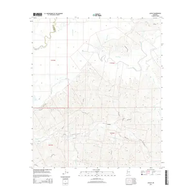
1988 Lessley
Wilkinson County, MS
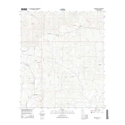
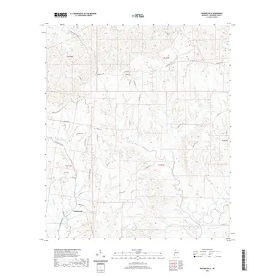
1988 Newtonia
Wilkinson County, MS
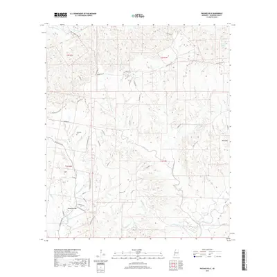
1988 Pinckneyville
Wilkinson County, MS
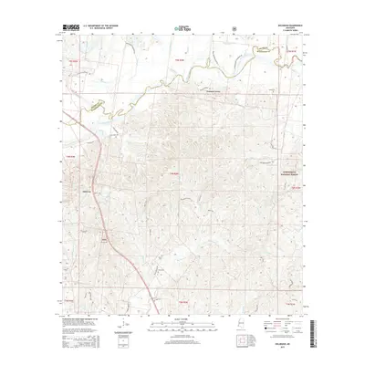
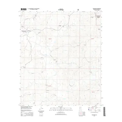
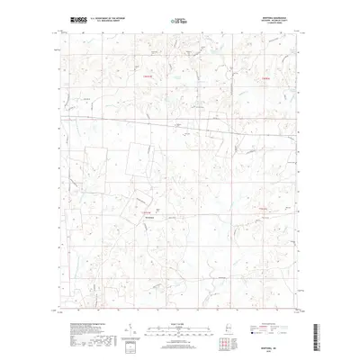
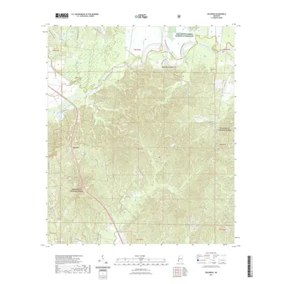
1988 Wilkinson
Wilkinson County, MS
1996 Fort Adams
Wilkinson County, MS
2000 Garden City
Wilkinson County, MS
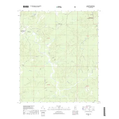
2000 Wilkinson
Wilkinson County, MS
2012 Doloroso
Wilkinson County, MS
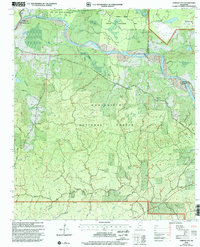
2012 Fort Adams
Wilkinson County, MS
2012 Garden City
Wilkinson County, MS
2012 Lake Mary
Wilkinson County, MS
2012 Laneheart
Wilkinson County, MS
2012 Lessley
Wilkinson County, MS
2012 Newtonia
Wilkinson County, MS
2012 Pinckneyville
Wilkinson County, MS
2012 Wilkinson
Wilkinson County, MS
2015 Doloroso
Wilkinson County, MS
2015 Fort Adams
Wilkinson County, MS
2015 Garden City
Wilkinson County, MS
2015 Lake Mary
Wilkinson County, MS
2015 Laneheart
Wilkinson County, MS
2015 Lessley
Wilkinson County, MS
2015 Newtonia
Wilkinson County, MS
2015 Pinckneyville
Wilkinson County, MS
2015 Wilkinson
Wilkinson County, MS
2018 Doloroso
Wilkinson County, MS
2018 Fort Adams
Wilkinson County, MS
2018 Garden City
Wilkinson County, MS
2018 Lake Mary
Wilkinson County, MS
2018 Laneheart
Wilkinson County, MS
2018 Lessley
Wilkinson County, MS
2018 Newtonia
Wilkinson County, MS
2018 Pinckneyville
Wilkinson County, MS
2018 Wilkinson
Wilkinson County, MS
2020 Fort Adams
Wilkinson County, MS
2020 Lake Mary
Wilkinson County, MS
2020 Laneheart
Wilkinson County, MS
2020 Lessley
Wilkinson County, MS
2020 Newtonia
Wilkinson County, MS
2020 Pinckneyville
Wilkinson County, MS
2021 Doloroso
Wilkinson County, MS
2021 Garden City
Wilkinson County, MS
2021 Wilkinson
Wilkinson County, MS
2024 Doloroso
Wilkinson County, MS
2024 Fort Adams
Wilkinson County, MS
2024 Garden City
Wilkinson County, MS
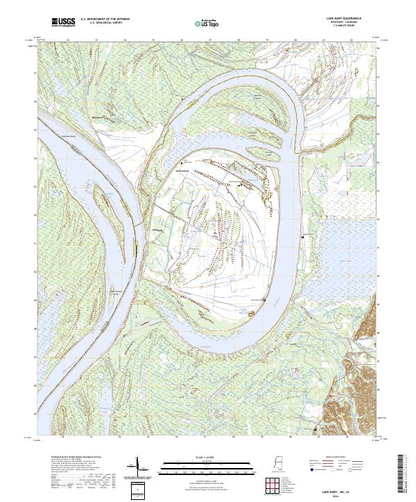
2024 Lake Mary
Wilkinson County, MS
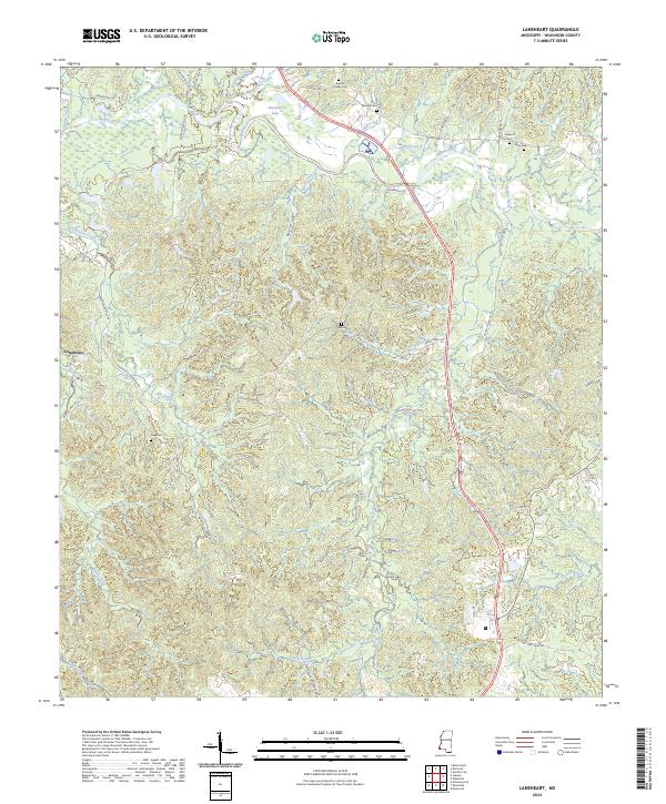
2024 Laneheart
Wilkinson County, MS
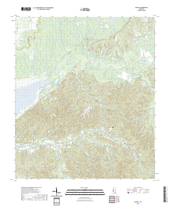
2024 Lessley
Wilkinson County, MS
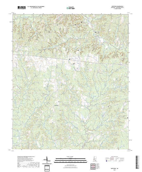
2024 Newtonia
Wilkinson County, MS
2024 Pinckneyville
Wilkinson County, MS
2024 Wilkinson
Wilkinson County, MS