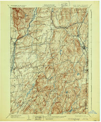
1904 Map of Fort Ann
USGS Topo · Published 1930About this map
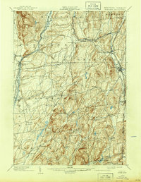
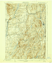
Wood Creek and the transit corridors of the Barge Canal define the western reaches of Washington County at the turn of the century. This landscape shows the industrial transition of the region, where the Delaware and Hudson Canal (Abandoned) sits alongside the active Delaware and Hudson RR and Saratoga Div. lines. These networks connected timber and agricultural hubs like Smith Basin and Fort Ann to wider markets.
Find a feature on this map
67 named features on this map. Tap any name to fly to it.
Don’t see what you’re looking for? This feature index may not catch every label — zoom into the map to look around manually.
Map Details
Editions of this 1904 Fort Ann Map
6 editions found
Other maps of this area

1893 · Fort Ann
USGS Topo · 1:62,500

1893 · Whitehall
USGS Topo · 1:62,500

1894 · Pawlet
USGS Topo · 1:62,500

1894 · Equinox
USGS Topo · 1:62,500

1895 · Whitehall
USGS Topo · 1:62,500

1895 · Cambridge
USGS Topo · 1:62,500

1895 · Fort Ann
USGS Topo · 1:62,500

1895 · Glens Falls
USGS Topo · 1:62,500

1895 · Castleton
USGS Topo · 1:62,500

1896 · Equinox
USGS Topo · 1:62,500