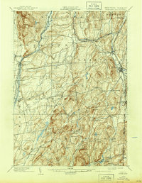
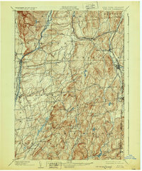
1904 Map of Fort Ann
USGS Topo · Published 1939About this map
Wood Creek and the Saratoga Div. Barge Canal define the western corridor of this Washington County landscape, revealing an era of active waterway commerce and transition. The map captures a complex network of industrial and agricultural settlements at the turn of the century, where the Mettawee River powers several communities including North Granville, Truthville, and Middle Granville. To the west, the presence of the Abandoned Delaware and Hudson Canal near Smith Basin illustrates the shifting nature of transportation as rail and newer barge routes superseded earlier 19th-century infrastructure.
Find a feature on this map
68 named features on this map. Tap any name to fly to it.
Don’t see what you’re looking for? This feature index may not catch every label — zoom into the map to look around manually.
Map Details
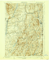
Editions of this 1904 Fort Ann Map
6 editions found
Other maps of this area

1893 · Fort Ann
USGS Topo · 1:62,500

1893 · Whitehall
USGS Topo · 1:62,500

1894 · Pawlet
USGS Topo · 1:62,500

1894 · Equinox
USGS Topo · 1:62,500

1895 · Whitehall
USGS Topo · 1:62,500

1895 · Cambridge
USGS Topo · 1:62,500

1895 · Fort Ann
USGS Topo · 1:62,500

1895 · Glens Falls
USGS Topo · 1:62,500

1895 · Castleton
USGS Topo · 1:62,500

1896 · Equinox
USGS Topo · 1:62,500