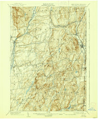
1904 Map of Fort Ann
USGS Topo · Published 1939About this map
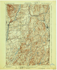
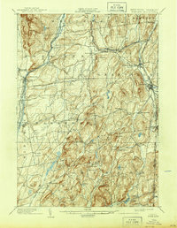
Fort Ann and the industrial corridors of Washington County define this landscape as it appeared in the late nineteenth and early twentieth centuries. The map meticulously records the transition from the Abandoned Delaware and Hudson Canal to the modern Barge Canal along the Saratoga Div. route. This water transport network, alongside the R. R. lines, supported a dense collection of hamlets like Middle Granville and North Granville.
Find a feature on this map
72 named features on this map. Tap any name to fly to it.
Don’t see what you’re looking for? This feature index may not catch every label — zoom into the map to look around manually.
Map Details
Editions of this 1904 Fort Ann Map
6 editions found
Other maps of this area

1893 · Fort Ann
USGS Topo · 1:62,500

1893 · Whitehall
USGS Topo · 1:62,500

1894 · Pawlet
USGS Topo · 1:62,500

1894 · Equinox
USGS Topo · 1:62,500

1895 · Whitehall
USGS Topo · 1:62,500

1895 · Cambridge
USGS Topo · 1:62,500

1895 · Fort Ann
USGS Topo · 1:62,500

1895 · Glens Falls
USGS Topo · 1:62,500

1895 · Castleton
USGS Topo · 1:62,500

1896 · Equinox
USGS Topo · 1:62,500