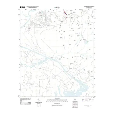
2011 Map of Fort Benning
USGS Topo · Published 2011About this map
The Chattahoochee River carves a winding path through this military landscape, serving as the border between Georgia and Alabama. This 2011 survey focuses on the heart of the Fort Benning installation, detailing the high concentration of named terrain features that define its training grounds, from Riche Hill and Smyth Hill in the north to Carson Hill further south. The map identifies the Fort Benning Post Office and the residential area of McDaniel Manor, providing a clear record of the post's modern infrastructure.
Find a feature on this map
97 named features on this map. Tap any name to fly to it.
Don’t see what you’re looking for? This feature index may not catch every label — zoom into the map to look around manually.
Map Details
Editions of this 2011 Fort Benning Map
This is the sole edition of this map. No revisions or reprints were ever made.
Other maps of this area

1908 · Columbus
USGS Topo · 1:62,500

1914 · Seale
USGS Topo · 1:62,500

1929 · Columbus
USGS Topo · 1:48,000

1947 · Columbus
USGS Topo · 1:62,500

1949 · Fort Mitchell
USGS Topo · 1:24,000

1949 · Julia
USGS Topo · 1:24,000

1949 · Ochillee
USGS Topo · 1:24,000

1949 · Columbus
USGS Topo · 1:24,000

1949 · Cusseta
USGS Topo · 1:24,000

1950 · Fort Benning
USGS Topo · 1:24,000