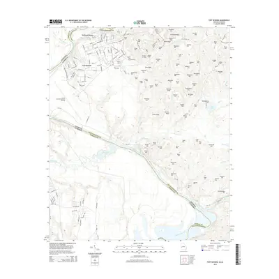
2014 Map of Fort Benning
USGS Topo · Published 2014About this map
Fort Benning and its vast military infrastructure dominate this landscape at the confluence of the Chattahoochee River and Uchee Creek. The map documents a complex network of internal military roads, including First Division Rd and Eighth Division Rd, weaving through a terrain defined by numerous named ridges such as Strickland Ridge and Riley Ridge. The installation's aviation capabilities are anchored by Lawson Army Airfield (Fort Benning), while residential pockets like McDaniel Manor are situated near the northern boundary.
Find a feature on this map
163 named features on this map. Tap any name to fly to it.
Don’t see what you’re looking for? This feature index may not catch every label — zoom into the map to look around manually.
Map Details
Editions of this 2014 Fort Benning Map
This is the sole edition of this map. No revisions or reprints were ever made.
Other maps of this area

1908 · Columbus
USGS Topo · 1:62,500

1914 · Seale
USGS Topo · 1:62,500

1929 · Columbus
USGS Topo · 1:48,000

1947 · Columbus
USGS Topo · 1:62,500

1949 · Fort Mitchell
USGS Topo · 1:24,000

1949 · Julia
USGS Topo · 1:24,000

1949 · Ochillee
USGS Topo · 1:24,000

1949 · Columbus
USGS Topo · 1:24,000

1949 · Cusseta
USGS Topo · 1:24,000

1950 · Fort Benning
USGS Topo · 1:24,000