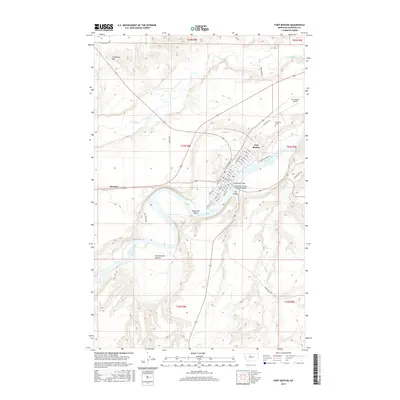
2017 Map of Fort Benton
USGS Topo · Published 2017About this map
The Missouri River carves a sweeping path through this Chouteau County landscape, anchoring the settlement of Fort Benton. As a vital point of navigation and trade, the town is shown with a grid of streets including Front St and River St, leading toward The Canyon. The convergence of the Teton River and the Missouri creates a complex series of riparian environments, such as Cottonwood Bottom and the mid-river Roosevelt Island.
Find a feature on this map
51 named features on this map. Tap any name to fly to it.
Don’t see what you’re looking for? This feature index may not catch every label — zoom into the map to look around manually.
Map Details
Editions of this 2017 Fort Benton Map
This is the sole edition of this map. No revisions or reprints were ever made.
Other maps of this area

1890 · Fort Benton
USGS Topo · 1:250,000

1892 · Fort Benton
USGS Topo · 1:250,000

1897 · Fort Benton
USGS Topo · 1:250,000

1953 · Tunis
USGS Topo · 1:24,000

1953 · O'Hanlon Coulee
USGS Topo · 1:24,000

1953 · Loma West
USGS Topo · 1:24,000

1954 · Great Falls
USGS Topo · 1:250,000

1954 · Rice Reservoir
USGS Topo · 1:24,000

1954 · Fort Benton
USGS Topo · 1:24,000

1956 · Highwood
USGS Topo · 1:62,500