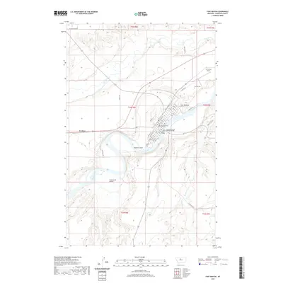
2020 Map of Fort Benton
USGS Topo · Published 2020About this map
Fort Benton sits at the heart of this landscape, where the Missouri River carves through the terrain to meet the smaller Teton River and Shonkin Cr. As the seat of Chouteau County, the town layout reveals its civic history through landmarks like the Chouteau County Courthouse and the critical infrastructure of the Fort Benton Bridge and Chouteau County Memorial Bridge. The street grid, including Main St and Front St, borders the river's edge, reflecting the town's origins as a vital inland port.
Find a feature on this map
51 named features on this map. Tap any name to fly to it.
Don’t see what you’re looking for? This feature index may not catch every label — zoom into the map to look around manually.
Map Details
Editions of this 2020 Fort Benton Map
This is the sole edition of this map. No revisions or reprints were ever made.
Other maps of this area

1890 · Fort Benton
USGS Topo · 1:250,000

1892 · Fort Benton
USGS Topo · 1:250,000

1897 · Fort Benton
USGS Topo · 1:250,000

1953 · Tunis
USGS Topo · 1:24,000

1953 · O'Hanlon Coulee
USGS Topo · 1:24,000

1953 · Loma West
USGS Topo · 1:24,000

1954 · Great Falls
USGS Topo · 1:250,000

1954 · Rice Reservoir
USGS Topo · 1:24,000

1954 · Fort Benton
USGS Topo · 1:24,000

1956 · Highwood
USGS Topo · 1:62,500