
1897 Map of Fort Benton
USGS Topo · Published 1897About this map
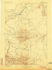
Fort Benton stands as the primary hub of this northern plains landscape, situated at a strategic bend where the Great Northern R. R. meets the Missouri River. The territory transitions from river breaks and coulees into the prominent elevations of the Highwood Mountains and the northern edge of the Little Belt Mountains. The survey reveals a network of emerging agricultural and mining-related settlements, such as Stanford, Armington, and Grafton, connected by stage routes and early rail lines.
Find a feature on this map
89 named features on this map. Tap any name to fly to it.
Don’t see what you’re looking for? This feature index may not catch every label — zoom into the map to look around manually.
Map Details
Editions of this 1897 Fort Benton Map
4 editions found
Other maps of this area

1886 · Great Falls
USGS Topo · 1:250,000

1886 · Fort Logan
USGS Topo · 1:250,000

1886 · Little Belt Mts.
USGS Topo · 1:250,000

1889 · Big Snowy Mountain
USGS Topo · 1:250,000

1890 · Fort Benton
USGS Topo · 1:250,000

1892 · Fort Benton
USGS Topo · 1:250,000

1893 · Big Snowy Mountain
USGS Topo · 1:250,000

1894 · Little Belt Mts.
USGS Topo · 1:250,000

1897 · Little Belt Mts.
USGS Topo · 1:250,000

1898 · Little Belt Mts.
USGS Topo · 1:250,000