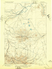
1897 Map of Fort Benton
USGS Topo · Published 1932About this map
The Missouri River corridor and its confluence with the Teton River anchor this late 19th-century reconnaissance, focusing on the historic port of Fort Benton. The landscape is dominated by the prominent peaks of the Highwood Mountains and the Jefferson Belt Mountains, where the early industrial presence is marked by mining activity near Barker and Barker Min. in what was then the Jefferson Nat. For. area.
Find a feature on this map
105 named features on this map. Tap any name to fly to it.
Don’t see what you’re looking for? This feature index may not catch every label — zoom into the map to look around manually.
Map Details
Editions of this 1897 Fort Benton Map
4 editions found
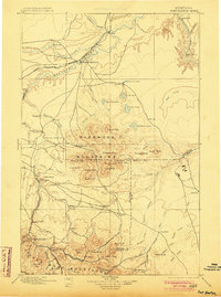
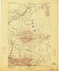
Other maps of this area

1886 · Great Falls
USGS Topo · 1:250,000

1886 · Fort Logan
USGS Topo · 1:250,000

1886 · Little Belt Mts.
USGS Topo · 1:250,000

1889 · Big Snowy Mountain
USGS Topo · 1:250,000

1890 · Fort Benton
USGS Topo · 1:250,000

1892 · Fort Benton
USGS Topo · 1:250,000

1893 · Big Snowy Mountain
USGS Topo · 1:250,000

1894 · Little Belt Mts.
USGS Topo · 1:250,000

1897 · Fort Benton
USGS Topo · 1:250,000

1897 · Little Belt Mts.
USGS Topo · 1:250,000