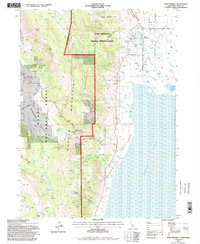
1993 Map of Fort Bidwell
USGS Topo · Published 1996About this map
Fort Bidwell lies at the eastern base of the Warner Mountains, serving as a focal point where the high desert of Surprise Valley meets the timbered slopes of the Modoc National Forest. This 1993 revision, based on photography dating back to 1958, illustrates a landscape defined by water management and ranching. The presence of numerous Check Dams, Flowing Wells, and a Fish Hatchery near the Fort Bidwell Indian Reservation indicates a highly managed hydraulic environment.
Find a feature on this map
34 named features on this map. Tap any name to fly to it.
Don’t see what you’re looking for? This feature index may not catch every label — zoom into the map to look around manually.
Map Details
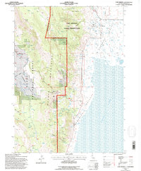
Editions of this 1993 Fort Bidwell Map
2 editions found
Other maps of this area

1886 · Alturas
USGS Topo · 1:250,000

1892 · Alturas
USGS Topo · 1:250,000

1954 · Alturas
USGS Topo · 1:250,000

1958 · Alturas
USGS Topo · 1:250,000

1962 · Alturas
USGS Topo · 1:250,000

1962 · Davis Creek
USGS Topo · 1:62,500

1962 · Willow Ranch
USGS Topo · 1:62,500

1962 · Cedarville
USGS Topo · 1:62,500

1962 · Fort Bidwell
USGS Topo · 1:62,500

1965 · Alturas
USGS Topo · 1:250,000