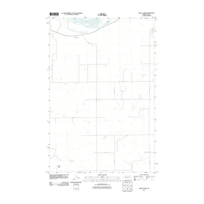
2011 Map of Fort Clark
USGS Topo · Published 2011About this map
The Missouri River defines the northern boundary of this landscape, its braided channels and sandbars flowing just west of Mandan Lake. This area of McLean County is characterized by a high-plateau agricultural grid, where long rural roads like 35th 1/2 Ave Sw and 20th St Sw segment the prairie into vast sections. Water management is a primary feature of the local topography, evidenced by landmarks such as Daub Dam near the river and Square Butte 2 Dam to the south. These structures, along with numerous unnamed depressions and small wetlands dotting the terrain, reflect the hydrologic engineering required to sustain North Dakota's heartland. The map provides a clear record of the modern rural infrastructure, showing the precise alignment of township roads and the drainage patterns that influence the surrounding agricultural life.
Find a feature on this map
13 named features on this map. Tap any name to fly to it.
Don’t see what you’re looking for? This feature index may not catch every label — zoom into the map to look around manually.
Map Details
Editions of this 2011 Fort Clark Map
This is the sole edition of this map. No revisions or reprints were ever made.
Other maps of this area

1948 · Stanton
USGS Topo · 1:62,500

1949 · Stanton
USGS Topo · 1:62,500

1949 · Washburn
USGS Topo · 1:62,500

1954 · McClusky
USGS Topo · 1:250,000

1958 · McClusky
USGS Topo · 1:250,000

1961 · Washburn
USGS Topo · 1:24,000

1967 · Washburn SW
USGS Topo · 1:24,000

1967 · Stanton SE
USGS Topo · 1:24,000

1968 · Hannover NE
USGS Topo · 1:24,000

1968 · Fort Clark
USGS Topo · 1:24,000