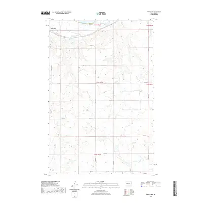
2020 Map of Fort Clark
USGS Topo · Published 2020About this map
Fort Clark sits along the southern banks of the Missouri River in this modern survey of the North Dakota prairie. The landscape is defined by the sharp transition between the river valley and the high, dissected bluffs that rise to the south. This area, marking the boundary of McLean Co Oliver Co, centers on the significant historical site of Fort Clark, a vital center for fur trade and military activity in the 19th century. Just east of the settlement, Mandan Lake occupies a low-lying area near the river's bend, while a strict grid of section lines and rural roads, including 33rd Ave Sw and 15th St Sw, organizes the upland plains. The map illustrates how current infrastructure and land divisions overlay a site of immense importance to the history of the upper Missouri.
Find a feature on this map
20 named features on this map. Tap any name to fly to it.
Don’t see what you’re looking for? This feature index may not catch every label — zoom into the map to look around manually.
Map Details
Editions of this 2020 Fort Clark Map
This is the sole edition of this map. No revisions or reprints were ever made.
Other maps of this area

1948 · Stanton
USGS Topo · 1:62,500

1949 · Stanton
USGS Topo · 1:62,500

1949 · Washburn
USGS Topo · 1:62,500

1954 · McClusky
USGS Topo · 1:250,000

1958 · McClusky
USGS Topo · 1:250,000

1961 · Washburn
USGS Topo · 1:24,000

1967 · Washburn SW
USGS Topo · 1:24,000

1967 · Stanton SE
USGS Topo · 1:24,000

1968 · Hannover NE
USGS Topo · 1:24,000

1968 · Fort Clark
USGS Topo · 1:24,000