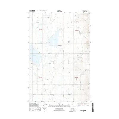
2017 Map of Fort Connah
USGS Topo · Published 2017About this map
Fort Connah stands as a focal point of this Mission Valley landscape, representing a deep layer of regional history north of Post Creek. The map details a complex network of water management and natural drainage, with the large Kicking Horse Reservoir and Ninepipe Reservoir dominating the central terrain. These irrigation features are fed and drained by numerous named waterways including Mollman Creek and Crow Creek. To the east, the topography rises sharply into the mountains, accessed by routes such as the Mollmann Pass Trl and Eagle Pass Trl. This 2017 survey reflects the modern settlement patterns around Allentown and Kicking Horse, where small-town life meets an intricate grid of rural roads like Fish Hatchery Rd and Dublin Gulch Rd, illustrating the intersection of agricultural development and the steep wilderness of the Mission Range.
Find a feature on this map
54 named features on this map. Tap any name to fly to it.
Don’t see what you’re looking for? This feature index may not catch every label — zoom into the map to look around manually.
Map Details
Editions of this 2017 Fort Connah Map
This is the sole edition of this map. No revisions or reprints were ever made.
Other maps of this area

1920 · Flathead Lake
USGS Topo · 1:125,000

1921 · Elbow Lake
USGS Topo · 1:125,000

1955 · Choteau
USGS Topo · 1:250,000

1956 · Wallace
USGS Topo · 1:250,000

1957 · Choteau
USGS Topo · 1:250,000

1958 · Choteau
USGS Topo · 1:250,000

1960 · Wallace
USGS Topo · 1:250,000

1962 · Choteau
USGS Topo · 1:250,000

1964 · Fort Connah
USGS Topo · 1:24,000

1964 · Ronan
USGS Topo · 1:24,000