Loading...
Loading map...2022 Map of Fort Dodge
USGS Topo · Published 2022About this map
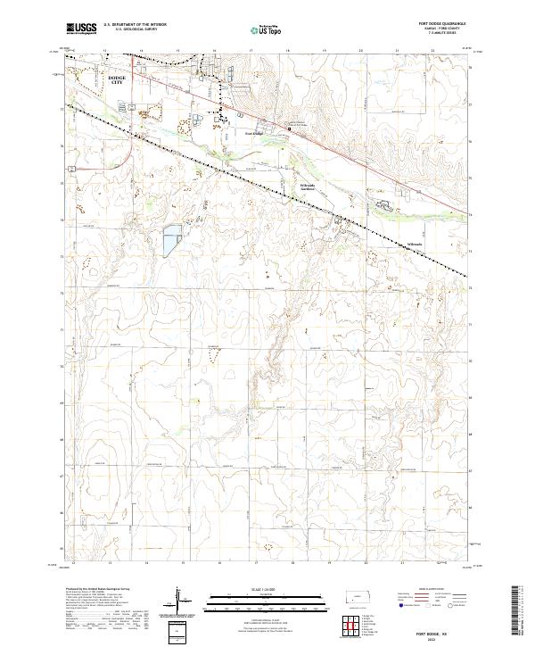
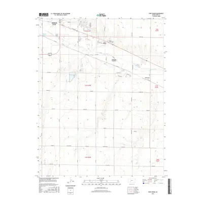
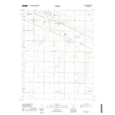
Arkansas River flows through the northern portion of this landscape, anchoring the settlement of Fort Dodge and the southeastern fringes of Dodge City. The terrain here is defined by the river's path and the adjacent Kansas Veterans' Cem at Fort Dodge, a site of significant local history. The map illustrates a transition from the urban-influenced infrastructure of the west to the more dispersed residential patterns found in Wilroads Gardens and Wilroads.
Find a feature on this map
36 named features on this map. Tap any name to fly to it.
Don’t see what you’re looking for? This feature index may not catch every label — zoom into the map to look around manually.
Map Details
Date Portrayed2022
Date Published2022
PublisherU.S. Geological Survey
Map TypeTopographic
Scale1:24,000
Physical Dimensions24 x 29 inches
Editions of this 2022 Fort Dodge Map
This is the sole edition of this map. No revisions or reprints were ever made.
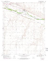
Historical Maps of Dodge City Through Time
6 maps found
Featured Locations
Source Details
SourceU.S. Geological Survey
CopyrightPublic Domain