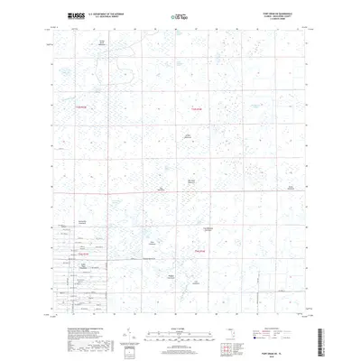
2018 Map of Fort Drum SW
USGS Topo · Published 2018About this map
Indian Town Hammock and a series of family-named landmarks define this interior landscape in the Florida ranchlands. The area is characterized by a complex network of wetlands and wooded islands, including Twelvemile Slough, Sevenmile Slough, and Little Gumhead Marsh. These natural features dictated the early settlement patterns, where higher ground supported the many "hammocks" found throughout the region.
Find a feature on this map
66 named features on this map. Tap any name to fly to it.
Don’t see what you’re looking for? This feature index may not catch every label — zoom into the map to look around manually.
Map Details
Editions of this 2018 Fort Drum SW Map
This is the sole edition of this map. No revisions or reprints were ever made.
Other maps of this area

1953 · Taylor Creek NW
USGS Topo · 1:24,000

1953 · Basinger
USGS Topo · 1:24,000

1953 · Fort Drum
USGS Topo · 1:24,000

1953 · Fort Kissimmee NE
USGS Topo · 1:24,000

1953 · Fort Drum SW
USGS Topo · 1:24,000

1953 · Fort Drum NW
USGS Topo · 1:24,000

1953 · Fort Drum NE
USGS Topo · 1:24,000

1953 · Fort Kissimmee SE
USGS Topo · 1:24,000

1953 · Taylor Creek NE
USGS Topo · 1:24,000

1956 · Fort Pierce
USGS Topo · 1:250,000