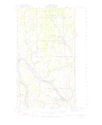
1951 Map of Fort Fairfield
USGS Topo · Published 1971About this map
The Aroostook River winds through this 1951 revision of the eastern Maine borderlands, illustrating a landscape defined by potato farming and international rail transit. The Canadian Pacific and the Bangor and Aroostook railroads trace the river valley, serving the primary hubs of Fort Fairfield and Limestone. This era shows a high density of rural schoolhouses and neighborhood corners, such as Kelly Sch, Wright Sch, and Cote Corner, which anchored small farming communities before the consolidation of the late 20th century. Local industry is visible at Grimes Mill and the State Fish Hatchery near the edge of Caribou. Along the United States Canada border, the map details many smaller family-named settlements like Brissettes and Nadeau, providing a clear view of the genealogical fabric of Aroostook County during its agricultural peak.
Find a feature on this map
87 named features on this map. Tap any name to fly to it.
Don’t see what you’re looking for? This feature index may not catch every label — zoom into the map to look around manually.
Map Details
Editions of this 1951 Fort Fairfield Map
5 editions found

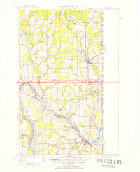
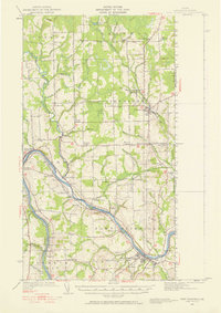
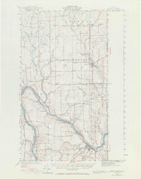
Other maps of this area

1921 · Van Buren
USGS Topo · 1:250,000

1927 · Stockholm
USGS Topo · 1:48,000

1929 · Caribou
USGS Topo · 1:48,000

1930 · Fort Fairfield
USGS Topo · 1:48,000

1931 · Van Buren
USGS Topo · 1:48,000

1931 · Stockholm
USGS Topo · 1:62,500

1932 · Caribou
USGS Topo · 1:62,500

1933 · Fort Fairfield
USGS Topo · 1:62,500

1934 · Van Buren
USGS Topo · 1:62,500

1935 · Presque Isle
USGS Topo · 1:62,500